Restoring peatlands fights global warming. Satellites can help
 Written by
Mark Rivett-Carnac
Peatlands hold more carbon than all the world’s forests. But humans have damaged them.
Scotland is blanketed in peatlands, rich ecosystems critical to local wildlife and the health of our planet. Bogs dot the landscape of Dumfries and Galloway, stretch through the Central Belt, and push up into the Highlands. In the far north, the peatlands knit together and form one of the world’s largest areas of blanket bog called the Flow Country.
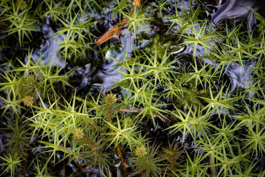
Frequent rains lash the Flow Country’s 400,000 waterlogged hectares, and the temperate climate cools the land. Its pristine pockets brim with life. Mosses sprout between ponds settled by newts, frogs, and toads. Dragonflies hum above the wetlands, and spring brings migratory birds like the golden plover and the greenshank. In autumn, red deer graze across the land.
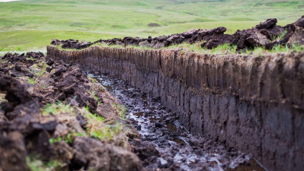
Dig under the moss, and you’ll find thick layers of semi-decayed vegetation called peat. While the brown mass does not dazzle like life above ground, it plays an essential role in mitigating global warming. Peat is a highly efficient carbon store. Scotland’s peatlands, which cover about a fifth of the country, contain the equivalent of 140 years of the country’s total current greenhouse gas emissions.
But nature’s balance is delicate. Damaged bogs can turn from carbon stores into carbon emitters, and not all of Scotland’s peatlands are as healthy as the Flow Country. Today, about 80% of them are degraded due to centuries of draining, often for forestry and agriculture, overgrazing, and other destructive commercial efforts. As a result, the United Kingdom’s peatlands now contribute 3.5% of its greenhouse gas emissions. Reversing this trend by conserving peatlands and restoring lost landscapes is key for tackling climate change.
We need to protect our peatlands, said Peter Platzer, co-founder and chief executive officer of Spire Global, at a recent roundtable hosted by Scotland’s Rural College (SRUC). “If we don’t, net-zero doesn’t become a difficult task. It becomes utterly impossible.”
The event brought together experts to discuss threats to Scotland’s ecology and share ideas on how environmental monitoring, using a range of data sources, can help overcome challenges. Both Platzer and Mark Reed, professor of rural entrepreneurship at SRUC, suggested ways that satellite-based remote sensing could help monitor and support peatland restoration efforts.
The discussion centered on Scotland, but peatland restoration is a global issue. Peatlands make up only 3% of land area worldwide but are the largest natural terrestrial carbon store. They contain 42% of the carbon trapped in the soil, holding more than all vegetation around the world, including forests, according to the International Union for Conservation of Nature.
The individual reserves can be massive. Scientists recently identified a tropical peatland in the Democratic Republic of Congo that could be among the most carbon-dense ecosystems on Earth. Found in the shallow Cuvette Centrale depression, the deposit could contain 30 billion tonnes of carbon, about as much as the entire Congo Basin forest, researchers wrote in Nature.
Whether on the equator or near the poles, all healthy peatlands have one thing in common: moisture. Peat needs a constant supply of water to form and survive. For the bogs of Scotland, that process began at the end of the last Ice Age.
About 10,000 years ago, glaciers melted away and flora crept onto the land. But when they died, the plants could not decay in the oxygen-starved, watery landscape. So the carbon dioxide the vegetation removed from the air during photosynthesis remained locked away, never returning to the atmosphere. New plants grew, died, and settled onto the pile of semi-preserved vegetation, which turned to peat at a rate of about one metre a millennium. Slowly and methodically, the cycle trapped carbon underground where it lay undisturbed. Then humans arrived.
The draining of peatlands in the present-day United Kingdom dates back to the Roman period and stretched through the Middle Ages. As the population grew so did the demand for agricultural land, putting greater pressure on the landscape. Then in the mid-20th century, Scotland embarked on a campaign to convert the large areas of peatland for commercial forestry, leveraging technological advancements like the tractor. The rumbling machines carved gullies through the bogs, drying the land for pine and spruce trees that often failed to produce lumber. Similar destruction of peatlands took place around the world and continues today. The IUCN estimates that about 15% of peatlands have been drained.
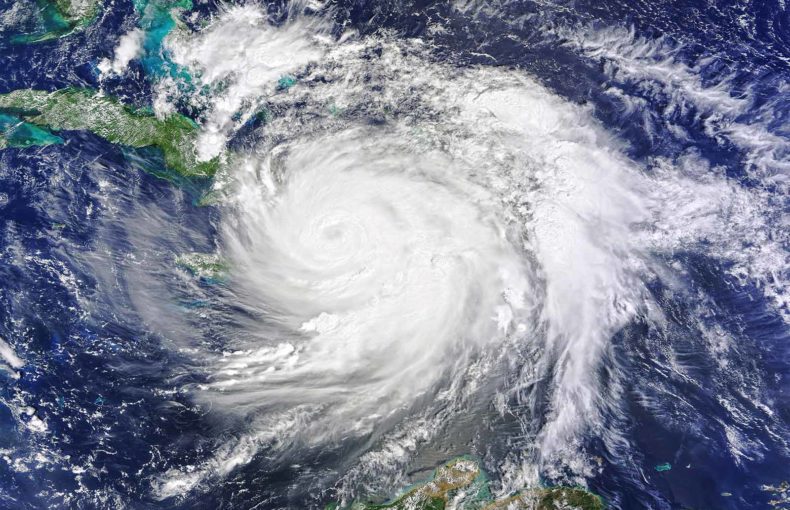
Without the protective presence of water, the carbon vault breaks open. The peat dries and the vegetation begins to decay, releasing greenhouse gases into the atmosphere. Each year drained peatlands contribute about 5% of the worldwide carbon dioxide emissions caused by humans. Making matters worse, the damaged lands are susceptible to fires that release even more greenhouse gases. In 1997, wildfires tore through Indonesia’s peatlands, releasing nearly the equivalent of the United States’ annual carbon dioxide emissions, National Geographic reported.
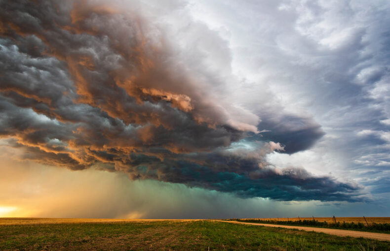
With weather data and forecast models, firefighting begins before flames turn into runaway forest fires.
Find out how Spire’s weather data helps predict forest fires
Even if we stop draining peatlands, it looks as if a warming climate will continue to threaten bogs and accelerate emissions. Scientists at the Oak Ridge National Laboratory found that warmer and drier conditions could change bogs from carbon sinks into carbon emitters. The researcher enclosed several peatland plots in northern Minnesota and exposed the ecosystems to a range of temperatures and carbon dioxide levels higher than current averages. After three years, the scientists found that the peatlands lost carbon about five to 18 times faster than rates of accumulation.
“Urgent action worldwide is required to protect, sustainably manage and restore peatlands,” the IUCN wrote.
In Scotland, restoration projects are already underway. Since 2012, Peatland ACTION has been working to revitalise 25,000 hectares. And last year, the government pledged £250 million ($344 million) over a decade to recovery as part of efforts to become a net-zero society by 2045. Projects involve the construction of peat dams to close drainage ditches, allowing water levels to rise and peat-building vegetation to return. The programmes remove encroaching trees and minimise grazing and burning. Revegetation helps manage extreme cases of erosion.
But as Professor Davy McCracken, Head of the Department of Integrated Land Management at SRUC, pointed out during the round table, work on the ground is only one step towards meaningful change.
“We need to actually know whether what we’ve actually done is working,” he said. “It all comes down to data.”
At the moment, many restoration projects rely on field surveys to monitor how well peatlands are recovering. But sending researchers out into remote corners of bogs is costly, time-consuming, and requires specialist expertise.
Experts may have found an effective alternative. The method uses satellites and a remote-sensing technique called Interferometric Synthetic Aperture Radar, which measures changes in the altitude of land surfaces. It may be possible to use the method to detect the expansion of peatlands that can occur during restoration, said Mark Reed, who is also the research lead for IUCN U.K.’s Peatland Program.
Think of it like breathing, Reed explained. When the peatland is degraded, it loses moisture, the peat contracts, and the land sinks. The bog is breathing out. When the bog is rewetted during restoration, the water table climbs, the peat expands, and the land rises. It is breathing in.
“If you can measure these topographical changes over the course of years,” Reed said, “you can track the restoration of a bog, whether it is working or not.”
Satellites can measure changes over large tracts of land, opening the door to wide-scale monitoring of peatland conditions and restoration projects. There is also a robust relationship between a peatland’s water table level and its greenhouse gas flux, making it possible to track emissions changes over time. And the remote-sensing technique could even identify areas at risk of instability, fire, and erosion, NatureScot found.
This is the tip of the iceberg of what is possible with nanosatellites.
For example, Spire’s devices monitor soil moisture using a satellite-based sensing technique known as Global Navigation Satellite System Reflectometry. This remote sensing technique gauges moisture levels by studying how signals bounce off the water trapped in the ground. The data could be helpful for mapping wetlands and monitoring their dynamics.
In fact, Spire’s constellation of satellites already measures variables pertinent not just to peatlands but to the health of the global climate. And it could add many more to the list in a short time frame. Spire has a history of bringing ideas from the whiteboard to orbit in under a year.
As the roundtable continued, the experts discussed other ways that existing and future datasets from small satellites could support peatland restoration, like locating optimal locations for projects. The mood became optimistic.
“It’s extraordinarily dumbfounding what people and humanity can do when working together,” said Platzer.
The hope is that as more dams go up, more water will return to the degraded lands. Moss will follow and then the wildlife. Peat formation will begin again and the landscapes will start to resemble the untouched corners of the Flow Country. And above them all, satellites will help ensure the progress continues unabated. Technology allowed us to destroy the peatlands. Now it will help protect them.
Spire’s multipurpose constellation of nanosatellites captures detailed data about the environment, from surface to near space.
Discover the powerful applications of Spire’s Earth Intelligence solutions