Driving next-generation AI-powered voyage optimization with weather data
 Written by
Sharmain Zain
Content Manager at Spire Weather
![]()
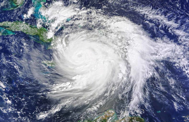
It’s a regular gray smoggy day in 2050 in Los Angeles as the city wakes up and sets out to work with its residents wearing air filtration masks.
![]()
As the hustle and bustle to work begins, a young woman coughs into her mask as the smoke in the air triggers her asthma. She gets into her car and wonders whether the temperature will drop below 32 degrees Celsius.
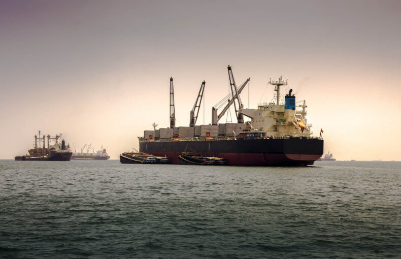
Luckily, we’re just transitioning into 2023 and we still have a chance to paint a better picture of our future. To ensure that the world does not look like this due to climate change, companies like DeepSea are tapping into the power of artificial intelligence to help the maritime industry sail more sustainably with reduced carbon emissions.
Download your free white paper to understand how maritime decarbonization can impact climate change
Using the space frontier to drive maritime performance routing
“Weather routing is not something new. It has been done for 20 or 25 years,” says Symeon Chatzigeorgiou, Business Director at Deepsea Technologies. “We’re taking it to the next level by collecting and combining vessel behavior information and weather components to optimize data-driven decision making.”
He went on to share that the industry norm is to categorize the vessel under standard geometry rules or as an undefined object that simply seeks to avoid poor weather conditions. However, by collecting high frequency ship data for analysis and creating performance profile models that take into account engine data, fuel consumption data and more- Deepsea’s AI-powered algorithm is able to create a vessel-customized route and speed plan based on weather forecasts.
For instance, if a ship is enroute to its destination and faces a current – the natural response of a traditional weather routing system will be to route around it beyond a certain threshold, regardless of the actual effect of the current on the vessel – which is always different. This ‘one-size-fits all’ model of routing a vessel leads to significant inefficiencies. On the other hand, Deepsea’s technology accesses the vessel’s DNA and assesses its operating conditions. If it identifies that the ship has a clean hull, the recommendation may be to sail right through the current (as a ship with a clean hull will perform differently than one with a fouled hull under the same weather patterns).
But of course, all this intelligence is reliant on accurate data inputs – especially weather forecasts.
Adding the value of accurate maritime weather insights for environmental compliance
The foundation of an accurate weather forecast is based on the quality of weather observations input into it. Known as the initial starting conditions, this is a critical component. Our planet’s land mass is more than 510 million square kilometers, out of which, unfortunately, a massive chunk is unobserved. Developed countries tend to own the resources that can be allocated to researching, producing and launching the biggest satellites into space. It’s only natural that they will choose to direct the coverage focus within their own topographical districts and not incorporate other parts of the globe, hence leading to inconsistent weather monitoring.
On top of that, tapping into a pool of reliable ocean weather observations is also a complicated process. The surface area of all oceans is 140 million square miles and the majority of it is too remote for wide-band communications. Other elements also interfere in the transmission process such as storms, saltwater and breaking waves. As we’re not able to access each and every point of the high seas, it becomes hard to accumulate a sufficient level of data to create accurate weather forecasts.
Download your free white paper to learn why weather forecasts can be tricky after 15 days
Over 71% of the Earth’s surface is covered in water and out of that, 80% is unobserved, unmapped and unexplored. This is why Deepsea is partnering with space entities such as Spire, which has eyes that monitor even the most under-observed regions. This includes but is not limited to appraising the oceans to the expanse of the Southern Hemisphere plus other remote territories. This way, we’re able to fill many of the gaps in the accumulation of weather observation data and generate reliable global weather forecasts that will open a whole new world of cost predictability between departure and destination points.