How Spire Weather is driving weather technology forward
 Written by
Asma Toroman
Weather Product Marketing Manager at Spire
Spire Weather improved UK Met Office and ECMWF data and reached key milestones- here is a quick update
At Spire, our goal is constant innovation so that we stay at the forefront of weather advances and remain a strong, cutting-edge data partner to our customers. Here’s a recap of some of the most important Spire Weather advances that might be of interest to your organization.
More accurate short and medium-range weather forecasts
We’ve continued to grow our constellation of Spire satellites. We recently reached a major achievement: we now have 100+ satellites in orbit, continuously scanning the earth 24/7. These satellites power our weather models and allow us to offer you a unique global weather coverage.
Additionally, we’ve invested in new machine learning techniques to capitalize on the value added by the Spire radio occultation data. Spire Weather can tailor its forecasts to the unique characteristics of any region resulting in more accurate and precise weather forecasts.
We’ve lengthened the range of our forecasts from 7 to 10 days. This means more time to plan against adverse weather, and more opportunities to save costs and reduce risks for your business.
Early this year we added minimum and maximum temperature forecast values. These data provide critical information for industries where our data can help enhance decision making.
UK Met Office
“Assimilating radio occultation data from Spire in addition to the current operational network brings substantial benefits to forecast performance.’’
Share on Facebook Share on Twitter Share on LinkedIn
Wave forecast: A game changer for maritime fuel savings
At Spire we are always focused on the needs of the maritime industry because they’re heavily impacted by weather conditions, both at sea and at port. A severe storm can cause a damaging ripple effect throughout an entire global supply chain, so leveraging accurate forecasts to be able to properly plan for adverse weather is crucial to maritime operators.
Indeed, maritime operators are getting smarter and are using data in new and innovative ways to learn from the past to better predict the future, save costs, and improve operational efficiency.
When it comes to navigation, certain measurements in weather forecasting data can be used to apply small changes to direction and speed to optimize fuel usage and reduce emissions. Wave data has proven particularly useful to train machine learning models, which is why we’ve recently added a new weather bundle to our offerings, Maritime Wave Forecast, which provides a specialized wave forecast with detailed wind and swell information.
A new port and airport optimized weather forecast
Spire Weather also released a new port and airport optimized weather forecast that delivers unique forecast quality for very localized use cases.
Our optimized forecasts use a combination of live weather conditions, current and past weather forecasts and machine-learning techniques to optimize forecasts for your locations and for your needs.
The result is a more accurate and customized weather prediction for a specific area of interest: the ideal weather forecast for airports, ports, or any unique location where more precise weather forecasting is needed.
New visualization capabilities for easier and faster integration with map software
Spire now offers Web Map Service (WMS) layers for integrating Spire Weather forecast data into your GIS applications. This new feature brings visualization of a wide array of variables from our own global weather forecast model, making it easy to integrate weather forecasts into existing map software. We put together a visual walkthrough to demonstrate how the variables can be combined and configured with different styles to deliver precise insights depending on your use case, tailored to meet your industry needs.
We recently used WMS custom visualisations to dive deeper into 2020’s historic storm season. Our case study about this project, Record-breaking Storm Season in 2020 Shows the Global Cost of Climate Change demonstrates how choosing clear visualizations can be a key factor in making weather data easier to understand, and easier to take action on.
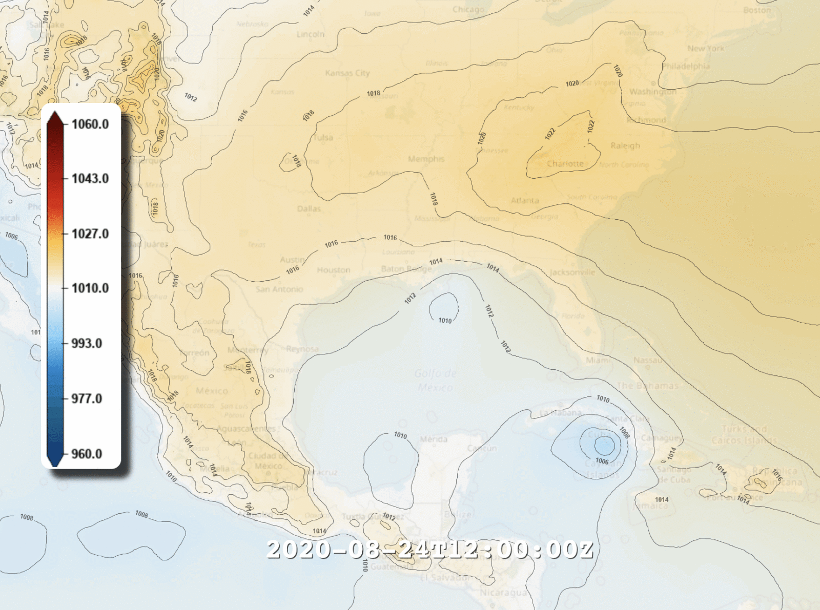
Tropical Storm Laura: Spire WMS visualization of Tropical Storm Laura forecast mean sea-level pressure data
If you have your own weather data visualization solutions, or if you don’t use any visualization service, we recommend reading up about what WMS can do to help create customized maps of Spire Weather forecasts.
And don’t take our word for it…
We reached some key milestones this year by partnering with NASA, the European Centre for Medium-Range Weather Forecasts (ECMWF), and the UK Meteorological (Met) Office. Spire Weather offered free data earlier this year from its radio occultation satellites to ECMWF, the United Kingdom’s Meteorological Office and the U.S. Air Force to help offset the loss of data captured by commercial aircraft.
ECMWF
“Spire data improves the short-range forecast fit to radiosonde data. So that means, that gives us clear confidence that Spire’s data is producing a better analysis and better short-range forecasts”
“It’s been a great year for radio occultation […] It’s probably been the best year since 2006.”
Dr Sean Healy, European Centre for Medium-Range Weather Forecasts, said during a webinar sponsored by Spire Global.
In 2017, NASA’s Earth Science Division launched the Private-Sector Small Constellation Satellite Data Product Pilot, now referred to as the Commercial Smallsat Data Acquisition Program (CSDAP) Pilot. During the pilot, the CSDAP evaluated the usefulness of imagery and data provided by commercial small-satellite constellations for advancing Earth system science research and applications.
“The radio occultation (RO) measurements were of quality consistent with the other GNSS-RO observing systems”
NASA’s assessments of Spire’s science data solutions
Share on Facebook Share on Twitter Share on LinkedIn
Stay tuned!
We’ll continue to invest in new technology, whether that’s our satellite hardware and software, or our predictive and analytic algorithms.
Our mission to be the best data partner for you and this means always keeping our eye on the future, and keeping our customers in the loop. Let us know if you want to talk about how you might make better use of any of these technologies, or detail your specific requests below and we’ll be in touch with you in the next 24 hours.
Talk to us