Spire’s weather data helped predict California’s Caldor Fire
With weather data and forecast models, firefighting begins before flames turn into runaway forest fires.
Before suiting up in personal protective gear, dispatching helicopters, and tackling infernos, firefighters have a new tool they can use to combat wildfires: data collected from satellites.
Satellites can monitor conditions critical to gauging fire risks worldwide, including remote wilderness areas where wildfires can flare up without drawing attention. And satellites can now track variables that have traditionally been difficult—if not impossible—to measure across vast landscapes. This data feeds predictive tools that pinpoint where fires are most likely to ignite and approximate how they will spread, so command centers can get ahead of wildfires and plan where to deploy resources.
The Brazil-based company Quiron Digital is showing success at wildfire prediction with the support of OroraTech and weather data collected by Spire Global’s constellation of nanosatellites. Quiron specializes in remote and automated monitoring of crops and forests. As part of this service, the company offers wildfire prediction with weekly fire ignition risk analysis. The model takes 12 variables into account and delivers a 7-day forecast with 10 meters resolution.
Spire’s weather data has been key to building and running Quiron’s inspiring solution. Historical weather data helped train the wildfire models, while Spire’s forecasts feed the ongoing predictions.
“Using data from Spire, we improved the resolution and quality of the data in remote locations, and it allowed for a 30% increase in accuracy of fire risk zoning,” said Quiron chief marketing officer Diogo Machado.
This improvement in accuracy translates into powerful warnings. In a pilot test, Quiron accurately predicted the Caldor Fire that burned south of Lake Tahoe 45 days ahead of the inferno, Machado explained. With Spire’s weather data, Quiron also forecasted the winds that drove the fire towards the populated areas just below the famous resort.
The Caldor Fire’s explosive growth demonstrated the need for early warnings. The fire burned slowly at first. But two days after ignition, strong winds stoked the flames and tripled the size of the wildfire overnight, according to The Modesto Bee. Within four days, it covered nearly 54,000 acres. It then quadrupled in size, burning across three counties and triggering the evacuation of tens of thousands of people.
“In the emergency management sector, resources are constrained,” said William Cromarty, a federal account executive at Spire Global with a background in emergency management. “Weather data allows an incident commander to prioritize resources and anticipate where to deploy support in advance, given you can never have 100% coverage.”
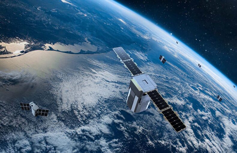
Spire’s weather data is beneficial for fire risk monitoring because the company’s constellation of more than 100+ nanosatellites measure conditions across the planet, including the remote pockets of wilderness where fires are likely to occur. As fires burn from California to Australia and Siberia, global monitoring is more important than ever.
Spire’s data has already been shown to improve forecasting accuracy. Now command centers can use the detailed data and weather predictions to monitor areas outside the range of ground-based sensors.
The data is generated by a remote sensing technique called radio occultation. This measurement translates the refraction of radio signals into precise temperature, humidity and pressure readings. Spire’s satellites make thousands of these observations as they orbit the Earth. The devices also measure wind speed, which, together with the other atmospheric readings, makes up the most critical weather variables for gauging wildfire risks.
Spire collects weather data and creates solutions to solve challenges across industries.
Alongside weather data, experts track vegetative ground cover—or fuel levels—to forecast wildfires. Satellites can help with this, too. It is possible to approximate fuel levels by studying soil moisture readings, explained Cromarty. Until recently, soil moisture has proved difficult to study on a large scale. But now, experts can calculate soil moisture across large tracts of land using satellite-based reflectometry, known as Global Navigation Satellite System Reflectometry or GNSS-R. This remote sensing technique measures how signals bounce off water trapped in the ground. Spire is investing heavily in this kind of soil moisture data. Satellites with this capability are already deployed and fully active with more missions planned.
“Compared to GNSS-R missions of the past, Spire satellites can collect about seven times the quantity of soil moisture measurements per satellite due to advances in tracking more simultaneous GNSS reflections,” said Dallas Masters, Spire’s Earth observations director. “We have long-term plans for sustainable Earth observations, and GNSS-R soil moisture is a key product that will positively impact weather forecasting, drought monitoring, and agriculture.”
Communities around the world have suffered record-breaking wildfires over the last few years. Even forests in Siberia have gone up in flames. As the threat grows with climate change, solutions that help protect firefighters and communities are more critical than ever—especially tools that help stop fires before they turn into life-threatening infernos. Satellites will continue to monitor the weather and environmental variables, and analytics will progress with time. Together, they should offer firefighters ever-improving solutions to predict and prevent wildfires.
“That means lives saved, structures saved, and the ability to get resources to the area to fight fires and minimize its impact,” said Quiron chief executive officer Gil Pletsch.
Watch our Quiron Customer Story:
Learn how Spire is campaigning for better wildfire prevention measures with U.S. governemnt agencies.
 Written by


