Super Typhoon Bolaven rolls across the Pacific Ocean
In just 12 hours, Typhoon Bolaven quickly transformed into the world’s second most intense storm this year.
Off the coast of Guam, Super Typhoon Bolaven transformed into the world’s second most intense storm this year. While the storm is far out at sea, it’s impact is noticeable on ship traffic in the Pacific Ocean.
Bolaven passed by Guam on October 10 as a Category 1 storm before undergoing a rapid intensification.
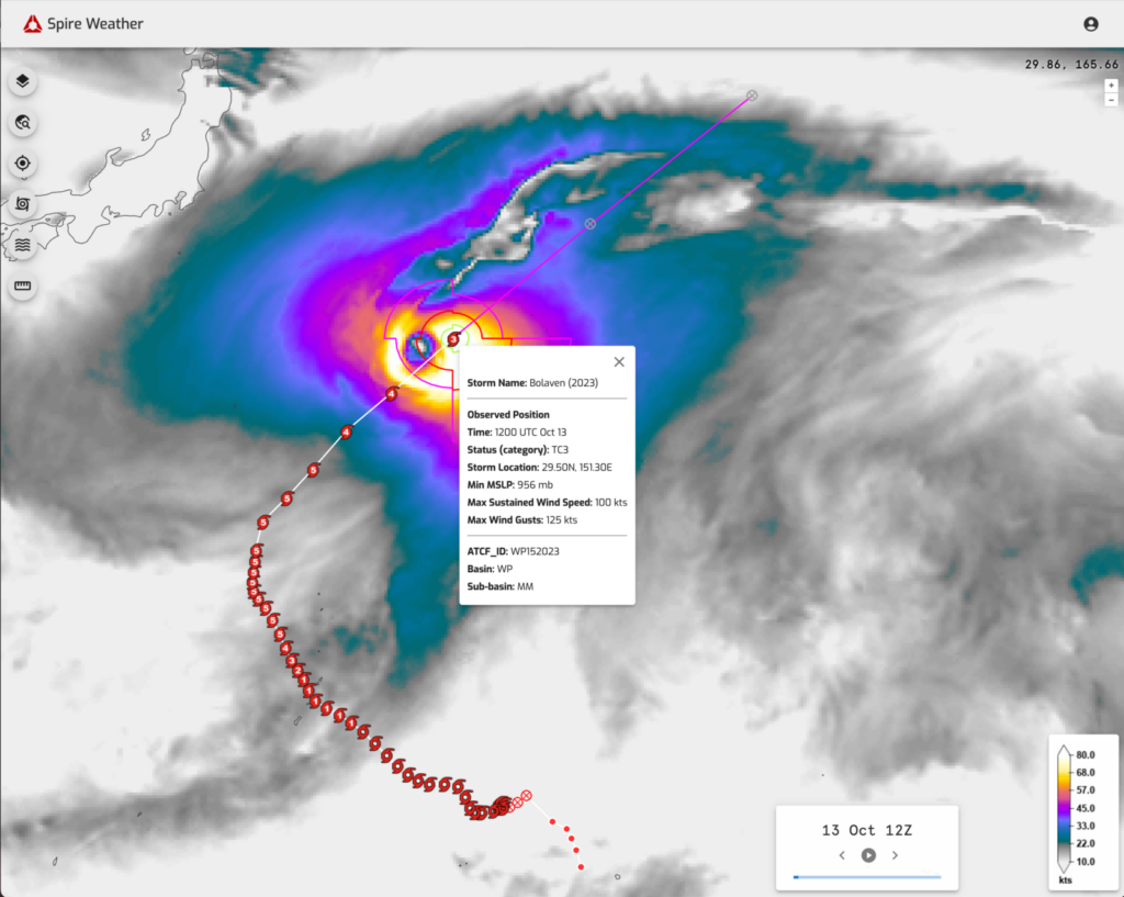
Spire’s data showing Super Typhoon Bolaven’s track on October 13, 2023.
Levi Blanchette from Spire’s Weather Risk Team notes, “Bolaven intensified to Typhoon strength on October 10th, moving to the northwest over the Mariana Islands and just to the northeast of Guam. Rapid Intensification then took place quickly on the 10th, intensifying from a Category 1 to a Category 5 in a 12-hour span later on the 10th.”
“Bolaven began a more northerly track over the next few days, maintaining its strength as a Category 5 Super Typhoon, with a minimum sea level pressure of 903 millibars, making it one of the most intense storms on the planet this year. Bolaven has now begun to track northeasterly, away from the western Pacific landmasses, and has begun to weaken as it encounters cooler waters and stronger vertical wind shear,” says Levi.
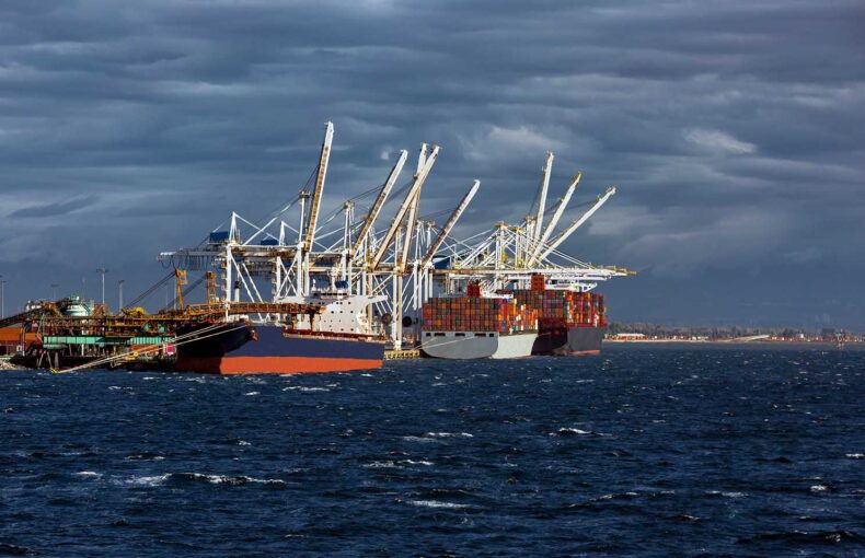
Passing through a busy shipping lane between China, Japan, and North America has likely offset some traffic as it’s footprint can be seen in Spire’s Maritime tracking data.
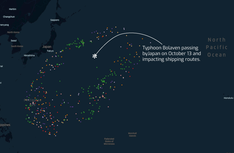
A map of Spire’s shipping data showing Typhoon Bolaven’s impact on ship traffic.
At the same time, September has continued an unfortunate trend of being another month of record-breaking heat and ranking as the “warmest September in NOAA’s 174-year global climate record,” since global records began in 1850.
NOAA reports that multiple climate anomalies impacted the globe in September. Heat records continued and New York City experienced heavy rainfall creating floods that brought the city to a halt. Heatwaves hit across the Americas, United Kingdom, Europe, Africa, and Asia. The Arctic experienced its fifth-lowest on record while the Antarctic sea ice hit a fifth consecutive month of record lows.
 Written by