The hidden value of historical weather data
“Red sky at night, sailor’s delight. Red sky in morning, sailor’s warning”- Unknown
Mankind has always looked to the skies to understand the enigmatic forces of nature, especially stakeholders in the maritime sphere. History to date estimates that there are over 3 million shipwrecks lying in the vast depths of the ocean floor, with barely 1% of them being discovered. How many of these disasters took place due to weather or due to human error?
Thankfully, humanity began to dabble in the art of weather forecasting as early on as 650 B.C. when the Babylonian civilisation attempted to anticipate short-term weather patterns and optical phenomenon as haloes. Exponential massive strides have been made in the world of weather prediction since then. As a global society, inventions and technology have permitted us to progress at a faster pace than ever before.
With the installation of sensors, weather stations, weather balloons and countless other devices to measure and record current weather data, we’ve gained a stronger understanding of the Earth’s atmosphere. Not just that, we’ve got eyes in the skies with the launch of countless satellites that continuously orbit the planet and record data. Armed with this and super computing power, weather forecasting models are getting better.
With all this innovation and technological expertise, why does the maritime sector still encounter countless challenges?
Over 80% of global trade is still carried out on ships and any tiny impact or delay causes a ripple effect across the world, resulting in losses worth billions of dollars.
Managing a fleet of sea-worthy, efficient vessels consists of a complex business model that entails colossal investment and costs. No matter what the class of shipping enterprise, fuel consumption contributes the highest percentage to expenses.

By knowing what the weather was on a certain site on a particular date/hour that is relevant to your route schedule, you can study or identify related weather patterns. This will allow you to conduct proforma planning effectively and undertake well-informed business decisions.
What can historical weather data do for your business?
The complex nature of weather poses as a barrier to create reliable weather forecasts beyond ten days. The further you go ahead in time, the less accurate the forecast gets. Route planning for lengthy voyages requires the utilisation of historical weather data to analyse past weather conditions. This makes it possible to identify potential weather patterns and obtain actionable insights. It really is an integral part of weather routing in order to get the full benefit of the algorithms we develop.
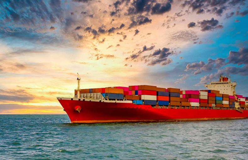
For instance, a container ship that has to reach its destination at an appointed time & date, balancing amidst the eminent factors of fuel optimisation, emissions reduction and remaining on schedule is harder than attempting to walk on a tightrope.
A container shipping company will gain customers based on its ability and reputation to meet its promise of on-time delivery. Global supply chains depend on such ocean carriers to arrive at their destinations at the stated time/dates. The principle of “Just-In-Time” has allowed B2C companies to ameliorate their ROI by minimising inventory management costs, however, at the risk of stock shortages if there is any delay in the supply chain.
Having access to historical weather data can decrease the risks associated with such major disruptions in the supply chain.
What other beneficial applications can historical weather data offer?
Think about it. What better way to learn and improve is there than looking back at history? You can also improve your vessel’s engine performance, optimise fuel, save costs and protect both your cargo plus crew
Whether you’re a member of the on-shore team or the off-shore team, weather data will play a key role in your strategy and plan of action. Having access to accurate historical weather data will support you in your efforts to:
- Optimise weather-based routing
- Assist in proforma scheduling
- Monitor fleet performance
If you’re part of a P&I firm or a maritime insurance service provider, you’ll want to understand the risk dynamics in certain locations for maritime transport. Scrutinising historical weather data on specific trajectories can help you identify high risk regions (in terms of weather) and make decisions accordingly.
Interested to learn more?
Join us on November 11, 2021 with Digital Ship to not only discuss the kinds of challenges that the whole maritime supply chain industry faces but to gain insights on how historical weather data can optimise your business operations and save you costs.
With Tom Bebbington, a highly experienced ex-Maritimer and innovation specialist, along with our panel of experts in the industry, learn how you can apply maritime weather data to analyse your trajectory paths, improve your vessel’s performance and optimise fuel consumption.
You’ll also hear from Soren Christian Meyer, CEO of ZeroNorth, about how his company uses historical weather data. ZeroNorth is a company which helps the shipping industry optimise operations through digitalisation.
We will also be joined by Christopher Manzeck, a Meteorologist & Sales Engineer at Spire as well as Simon van den Dries. VP of Business Development at Spire
The truth is that there are terabytes, more terabytes and even more terabytes of countless weather data to swift through. Let us help you cut through this clutter by demonstrating a few, effective methodologies of extracting weather data in a way that’ll save you ample time and help you achieve your business objectives. Let’s find your needle in this vast, infinite data haystack that could make or break your profit margins.
 Written by


