North Sea collision: Searching for answers with AIS data
 Written by
Gregory Batavier
Senior Marketing Manager at Spire Maritime
Maritime collisions, while rare, serve as stark reminders of the risks that persist despite modern navigation technology.
The recent crash between the Solong and Stena Immaculate in the North Sea raises important questions about vessel tracking, situational awareness, and maritime safety.
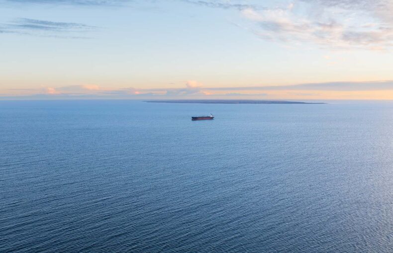
A serious maritime incident unfolded in the North Sea on March 10th, 2025 when the Portuguese-flagged cargo ship Solong collided with the anchored oil tanker Stena Immaculate off the coast of East Yorkshire in the United Kingdom. AIS tracking data from Spire Maritime indicates that the Stena Immaculate, which had travelled from Agioi Theodoroi in Greece, was nearly stationary at the time of impact, drifting at just 0.1 knots while anchored outside Hull. Meanwhile, the Solong, en route from Grangemouth, Scotland, to Rotterdam, was moving at a speed of 16 knots before it struck the tanker.
Concerns about maritime safety raised
The impact led to a large-scale rescue operation, with 36 crew members safely brought ashore. However, one crew member from the cargo ship, who had been missing, is presumed dead after the search and rescue operation was called off. Several vessels and a coastguard helicopter were seen in the vicinity, monitoring the situation and assisting with emergency response.
This collision has raised significant concerns about maritime safety protocols and vessel monitoring, particularly given the nature of the cargo involved. The Stena Immaculate was transporting jet fuel for the US Department of Defense as part of a specialized program that enlists commercial tankers for military fuel supply during emergencies. The Solong, meanwhile, was carrying at least 15 containers of sodium cyanide, a highly toxic chemical that can become hazardous if it comes into contact with water. However, the owner of the Solong has contested this, stating that no containers on board the Portuguese-flagged cargo ship were filled with sodium cyanide. While there are no confirmed reports of a spill, authorities are closely monitoring the vessels to ensure the integrity of their cargo remains intact. Given the modern tracking and navigation technologies in place to prevent such incidents, investigators are now working to determine how two large vessels collided in open waters. Key questions center around whether human error, mechanical failure, or procedural oversight played a role. With collision regulations designed to prevent such accidents, experts suggest that “something has gone very badly wrong”. The full investigation is expected to take weeks or even months to uncover the precise circumstances that led to the crash. Meanwhile, the owner of the cargo ship involved in the North Sea tanker collision has confirmed that the captain is a Russian national. Humberside Police reported that the 59-year-old remains in custody after being arrested the day after the collision on suspicion of gross negligence manslaughter.
The role of AIS data in preventing maritime collisions
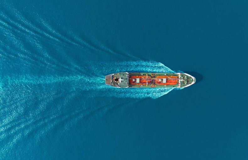
AIS data is a critical tool for reconstructing maritime incidents and understanding how collisions like this occur. Spire Maritime provides real-time and historical vessel tracking through a vast network of satellite and terrestrial AIS receivers, allowing maritime authorities and industry analysts to assess vessel movements, navigational patterns, and potential risk factors. Beyond accident investigations, AIS insights enhance situational awareness, improve maritime safety, and optimize global shipping operations. By offering continuous monitoring and high-resolution tracking, Spire Maritime’s AIS data supports efforts to prevent future collisions and ensure safer seas.
The recent collision in the North Sea, a high-traffic zone, highlights the challenges of vessel tracking in congested waters. Enhanced Satellite AIS improves visibility in such areas, where signal congestion can impact traditional AIS coverage. By leveraging advanced satellite technology, Spire Maritime’s Enhanced Satellite AIS optimizes vessel detection and ensures reliable tracking even in dense shipping lanes. This added visibility supports maritime authorities and investigators by providing clearer data on vessel movements, helping to prevent navigation errors and aiding in incident analysis where standard AIS signals may be less effective.
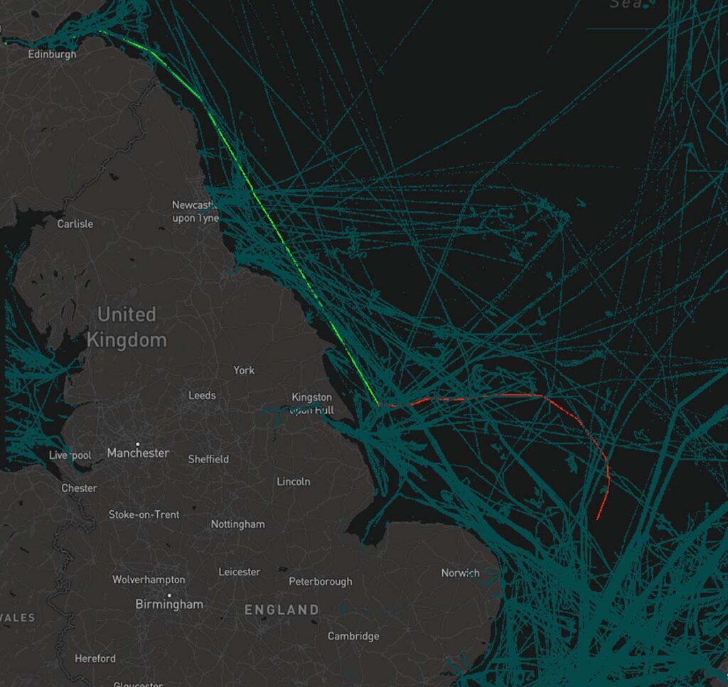
Red: Stena Immaculate | Green: Solong
How AIS data supports insurance investigations
For insurers and investigators, AIS data plays a vital role in verifying claims, assessing liability, and analyzing the circumstances surrounding maritime incidents. Spire Maritime’s historical AIS database enables insurers to cross-check reported vessel movements against actual recorded data, helping to validate claims and reduce fraud. Investigators can also use this data to reconstruct event timelines and determine whether human error, regulatory violations, or mechanical failures contributed to an accident. Additionally, insurers leverage AIS-based risk assessments to refine underwriting models, identifying patterns that influence premium calculations and loss prevention strategies.
Searching for answers: What led to the collision in the North Sea?
Many questions remain about how two large vessels collided in one of the world’s busiest maritime zones despite modern tracking and navigation technologies. Was this a case of human error, mechanical failure, or a breakdown in communication? Could better situational awareness or enhanced AIS tracking have prevented the incident? As the investigation unfolds, authorities will be looking for answers, but for now, the maritime industry is left with a stark reminder of the risks that persist on even the most closely monitored shipping routes.