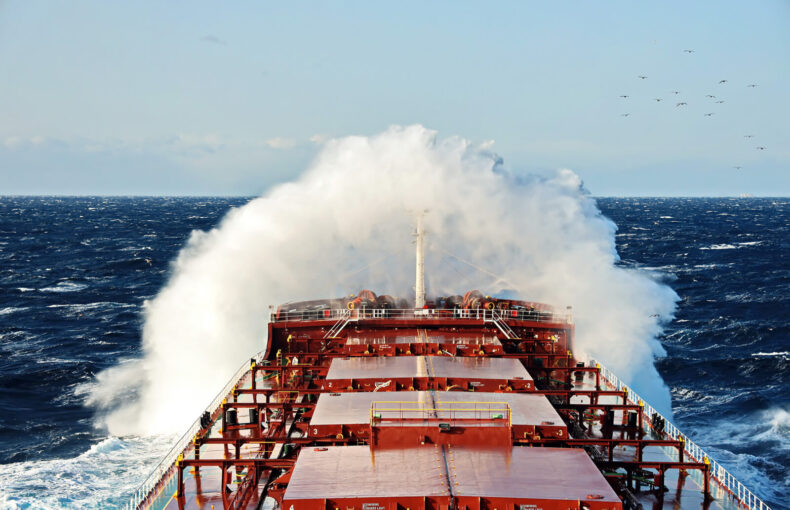
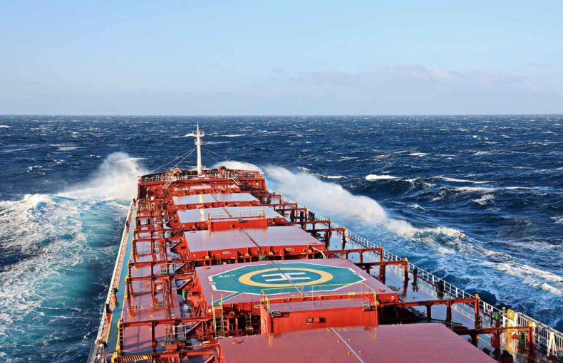
Maritime Weather Data
Reliable global weather forecast
Spire Weather is a unique solution for a reliable global weather forecast powered by the largest private weather observation satellite constellation.
Configure your AIS data solution
Maritime Weather portfolio
Voyage Optimization
A multi-objective voyage optimization algorithm. Calculating routes based on all key drivers behind voyage decision making.
Complete solution delivered through API and integrated with Spire’s satellite-based weather forecasts.
Flexible to meet your technology infrastructure. Can be delivered with built-in vessel performance models or integrated to your in-house developed ones.
Global Weather Forecast
15-day weather forecast anywhere on the planet, in 12-km (1/8-th degree) resolution.
Dozens of weather parameters for the atmosphere and oceans, with multiple packages dedicated to the Maritime industry (including probabilistic forecasts).
Available for Global download (GRIB2), per coordinate or per vessel route retrieval (JSON).
Historical Weather
Historical weather data anywhere on the planet since 1990.
Available in 12-km (1/8-th degree) resolution.
Integrated with AIS historical data to easily retrieve the weather conditions faced by vessels in the past.
Also available for global download (GRIB2).
Port Weather Forecast
A dedicated weather forecast for ports, with hourly weather for the next 15 days.
Weather forecasts updated every hour.
Forecasts tuned individually for each port, combining local observation with different weather models by using advanced ML techniques.
Maritime Insights
Maritime Insights delivers a forecast of the weather impact to shipping operations.
Based on the vessel characteristics, load, and a desired route, the API can calculate a forecast of the weather risk for the cargo, crew, and vessel, or the range of impact the weather has on the vessel performance.
Storm Tracks
Historical, current, and forecast tropical cyclone tracks with aggregated data from the NHC, CPHC, and JTWC.
Global coverage, all basins.
Available in JSON or KMZ for visualization.
Current Weather
Global high-resolution (3-km) overview of current weather conditions.
10 atmospheric variables available, updated every hour.
Tides
Global astronomical tides data from 1990 to five years from now.
Hourly tides or peaks, available in JSON format.
What makes Spire’s Maritime Weather data different from other solutions?
We know that managing costs and mitigating risks for navigation and port operations is key.
With over 20K atmospheric profiles gathered per day, Maritime Weather enables the delivery of unique weather conditions and weather forecast data to support you with:
- Understanding atmospheric conditions anywhere in the open ocean
- Validating and improving forecasts and overall accuracy
Maritime weather also offers a multi-objective voyage optimization algorithm, allowing users to calculate efficient routes without having to spend resources developing the technology. This solution is also suited to those who have existing algorithms and would like to update to the latest technology without having to invest by themselves.
One-stop shop for both the most accurate AIS data and a complete portfolio of weather data and products
Best in Class Support including:
- Continuous Support (live technical and customer support, including onboarding and developer documentation)
- Accessible through Modern APIs designed by developers, for developers
- Easy integration with support from dedicated Spire engineers
- 24/7 global satellite coverage
- Wide array of digital resources
Maritime Weather data delivery options
Data download in GRIB2 format for all global and regional products
Restful APIs in JSON format for point-by-point or per route retrieval
OGC’s WMS format for visualization
CSV bulk extraction for Port Weather and Historical Weather
Available in Spire’s ShipView solution
What is Maritime Weather useful for?
Weather and voyage performance optimization
- Reduce fuel consumption and CO2 emissions: receive recommended vessel route options based on vessel-specific constraints and their desired outcome. Maritime Weather also allows to identify the most optimal trajectory to sail through, by identifying potential weather patterns and obtaining actionable insights.
- Coloured spectrum for easy decision making: Simply enter the details of your ship, the waypoints for your potential journey, and cargo characteristics into the API. We then merge it with the weather forecast data for that specific route.
Insurance and compliance
- Maritime and ground transport investigators can use the “point by point” capability, to save time and effort by retrieving the exact data that they need and investigate specific issues.
- Evaluate the risk level of common routes, derived from the weather.
Risk & claim management
- A “Traffic-Light” concept conveys the result for each queried part of the journey: Risk Insights calculate a snapshot of a vessel’s risk level for each leg of the voyage at sea. The user inputs characteristics of the vessel, load, and desired route into an API, and Spire’s algorithm calculates the projected risk along the route.
- Use the risk value along multiple navigation paths and choose the best one that will help you maintain safety and protect your crew, cargo and vessel.
Commodity & market intelligence
- Power-up and train AI models with over 30 years of historical weather data to input into systems: generate AI-driven insights to train models and better predict the future impact on your business.
- Choose weather variables from Spire’s global historical data set and customize it as per industry’s needs.
Maintenance
- Plan maintenance on wind power stations.
- Reduce risk of extreme weather events disrupting operations and other unanticipated situations by knowing the chances of such events occurring.
- Customise variables that will provide key insights into your critical business needs.
Offshore maritime operations
- Estimate power production more accurately.
- Minimize losses due to weather downtime.
- Ensure safe and cost-effective operations and maintenance.
Real-world impact of Maritime Weather data
“The volume of data, flexibility and support we get from Spire’s weather team is unmatched. We are thrilled to be working with industry leaders as we continue to innovate and build toward a greener, more sustainable future.”
Luc Terral
Co-founder – BluePulse
![]()
“The Spire Weather Forecast excels for open ocean weather forecast accuracy. The level of development and speed of innovation that Spire is putting into its models continues to impress us.”
Nick Olsen
Marketing & Business Development Manager – Predictwind
![]()
“Weather routing has the potential to drive greater efficiency and emissions reduction as open-ocean conditions greatly impact performance. Partnering with Spire Weather puts genuinely market leading data into the hands of more users allowing them to enhance vessel performance.”
Søren Meyer
CEO – ZeroNorth
![]()
Additional Maritime Weather resources
DeepSea: the hidden cost of wind in fuel consumption
Did you know that under certain wind speeds, your fuel consumption for your ship can double on the high seas?

Unlocking the power of AI in maritime shipping with voyage optimization
Discover how cutting-edge AI-powered solutions revolutionize voyage planning and optimization, enhancing efficiency, fuel savings, and profitability.
A guide to maritime weather data for shipping
Spire provides global businesses with maritime weather data APIs to guide their ships, mitigate risks, enhance efficiencies, and streamline decisions.