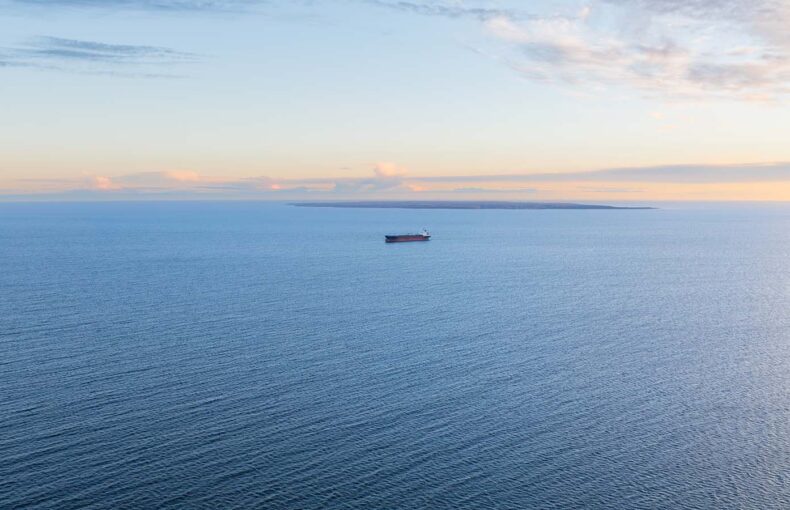
Countering AIS manipulation in the Baltic Sea
The Baltic Sea is fast becoming a focal point for hybrid warfare, where conventional military activity is interwoven with cyber and electronic disruption.
AIS Industry use case
Government maritime agencies require a cost-effective solution that will provide better visibility into maritime traffic patterns and detect/identify suspicious behaviour.
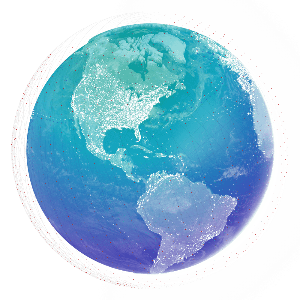
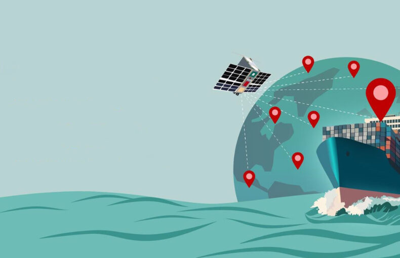
Spire Maritime AIS data provides significantly enhanced visibility of vessel traffic throughout the world’s waterways, beyond the 50 nautical mile limit of ground-based AIS receivers. In addition to complete global coverage, Spire Maritime detects many times more vessels than any other system, capturing thousands of distinct vessels in a single pass.


The Baltic Sea is fast becoming a focal point for hybrid warfare, where conventional military activity is interwoven with cyber and electronic disruption.
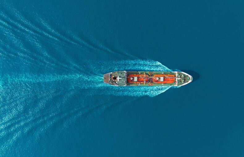
Live vessel tracking offers a powerful advantage to maritime industry professionals, enabling better decision-making, improved operational efficiency, and enhanced safety at sea.
In today’s maritime environment, where fuel costs are high, regulations are stringent, and global maritime security is unpredictable, effective routing has become essential to ensure sustainable operations.
Originally designed as an anti-collision tool, the Automatic Identification System (AIS) has, over the past two decades, evolved into a comprehensive data collection and analysis system.
The deteriorating Red Sea security situation caused by Houthi attacks and hijackings on commercial vessels has led to several major companies in the maritime and oil industries, to shy away from the Red Sea, and instead use the much longer, and costly route around Africa.

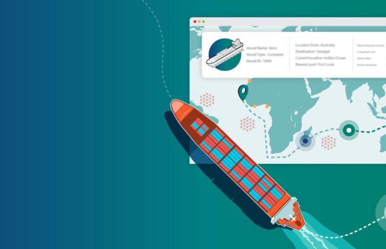
AIS Position Validation is the advanced Radio Frequency signal-based solution leveraging the unique real time coverage offered by the Spire satellite constellation providing continuous global coverage to validate vessel positions, whether vessels are near-shore or in mid-ocean.
Russia continues to reject international requests to restore the Black Sea Grain Initiative, impacting the livelihoods of Ukraine’s farmers.
Some of Russia’s richest individuals have had some of their most prized assets immobilized or seized after Western governments imposed and enforced sanctions; others have scrambled to move them to safe havens around the world.