Managing geopolitical risks with advanced maritime technology
 Written by
Gregory Batavier
Senior Marketing Manager at Spire Maritime
Although a fragile ceasefire has been agreed between Iran and Israel*, heightened tensions across the Middle East continue to cast uncertainty over the Strait of Hormuz.
For commercial shipping, the threat landscape in this critical maritime chokepoint still demands heightened vigilance, as emerging risks test the limits of maritime visibility, resilience, and response.
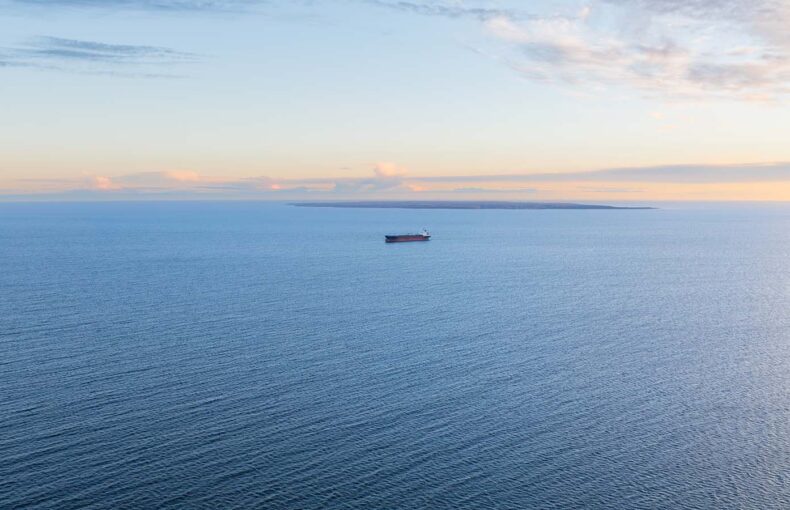
The Strait of Hormuz has long stood as one of the world’s most critical maritime arteries. Roughly 20% of global oil and a third of the world’s liquefied natural gas pass through this narrow passage each day, linking the energy-rich Gulf states with markets across Europe, Asia, and beyond. As such, it remains a vital corridor, and a persistent geopolitical flashpoint.
In recent weeks, the region surrounding the Strait has grown increasingly volatile. Following a wave of Israeli strikes against Iranian targets and Iranian counterstrikes, tensions have escalated across the Middle East, sparking fears of a wider conflict and potential retaliation on other nations’ interests. While a fragile ceasefire has since been declared, tensions remain elevated. The UK Maritime Trade Operations (UKMTO) has warned commercial vessels of the growing risk of military activity and advised heightened caution when transiting the Strait and surrounding waters.
The Strait of Hormuz: rising tensions, rising risks
While Iran has not moved to restrict maritime traffic, the possibility of retaliatory action targeting shipping lanes has been closely monitored in recent weeks. Although the ceasefire has eased immediate tensions*, concerns remain over the potential involvement of non-state actors, particularly the Houthis, whose past attacks on vessels in the Red Sea have already reshaped global shipping routes and elevated operational risk throughout the region.
For commercial operators, the threat landscape now includes not only the physical risk of conflict but also the strategic unpredictability of a rapidly evolving political crisis. Any attempt to close, constrain, or even contest the Strait would reverberate well beyond the Gulf, affecting oil prices, rerouting shipping flows, and placing further pressure on supply chains already strained by global disruptions.
In this context, situational awareness becomes paramount. As conditions change quickly, maritime stakeholders need not just visibility, but reliable intelligence to distinguish between routine movement and emerging threat patterns, and to ensure the safety of crew, cargo, and vessels in an increasingly complex environment.
Technology-driven risk mitigation
This is where technologies like Enhanced Satellite AIS become critically important. In congested, high-traffic zones such as the Strait of Hormuz, traditional AIS data can face limitations, including signal collision or coverage gaps, simply due to the sheer density of vessels transmitting in a relatively compact area. Enhanced Satellite AIS, by contrast, provides an unprecedented frequency of position updates in high traffic zones and busy ports. This improved coverage provides operators and authorities with greater visibility into vessel movements, helping to identify anomalies, track traffic patterns, and maintain operational clarity in one of the world’s most complex maritime areas.
Building on that visibility, the ability to act quickly and plan proactively is just as critical. While tensions have eased for now, concerns persist that access to the Strait of Hormuz could still be constrained, posing ongoing risks to global trade. Such a move would have sweeping consequences, not only for energy markets but for global trade flows and port connectivity across the Middle East. It would effectively isolate the transshipment hubs of Dubai and Abu Dhabi, while disrupting the export and import routes of key Gulf gateway ports in Saudi Arabia, Qatar, Bahrain, Kuwait, and Iraq, putting more emphasis on India’s west coast ports as alternative hubs. In this context, advanced routing tools like Spire Maritime’s Routing solution becomes essential as it empowers operators to effortlessly model point-to-point, port-to-port, or port-to-point voyages that avoid chokepoints, calculate accurate ETAs, and measure the implications of alternative routes. With this data at hand, maritime operators can quickly assess rerouting options, weigh distance and time trade-offs, and maintain operational resilience, even when geopolitical shifts threaten traditional maritime corridors.
Safeguarding maritime operations against AIS and GPS interference
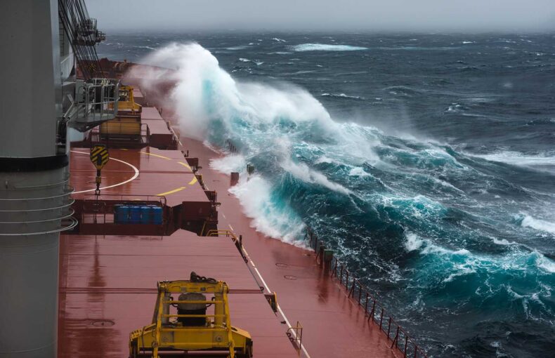
In addition to geopolitical risks, commercial shipping in the Strait of Hormuz did face escalating electronic interference. Authorities, including the UKMTO, have reported GPS and AIS disruptions over the past few weeks, with vessels experiencing erratic or false positioning. This interference, potentially part of broader hybrid warfare tactics, continues to complicate navigation and situational awareness in one of the world’s busiest and most strategically sensitive maritime corridors.
Such disruptions pose significant safety and operational challenges, such as misrouting and collisions, increasing uncertainty for crews and operators. In this environment, reliable vessel tracking and position validation are essential to maintain safe passage and effective maritime management despite compromised signals.
To address these challenges, Spire Maritime’s AIS Position Validation will offer a robust solution. By leveraging advanced RF signal processing, this technology independently calculates a vessel’s location at the time of AIS transmission, even when GPS data is unavailable or unreliable. This capability allows for the detection of discrepancies between reported and actual positions, enhancing situational awareness and supporting the identification of potential spoofing or signal interference. With continuous global coverage and real-time processing, AIS Position Validation provides maritime operators with a reliable tool to verify vessel movements and maintain operational integrity in compromised environments.
As tensions constantly shift in the Strait of Hormuz, one thing remains clear: maritime stakeholders must stay vigilant, informed, and adaptable. Thanks to advanced technologies like Enhanced Satellite AIS, AIS Position Validation, and intelligent routing tools, maritime operators are better equipped than ever to navigate uncertainty, safeguard their assets, and maintain continuity across evolving geopolitical and operational landscapes.
*At the time of writing