Deep Navigation Analytics™
Weather intelligence platform for maritime
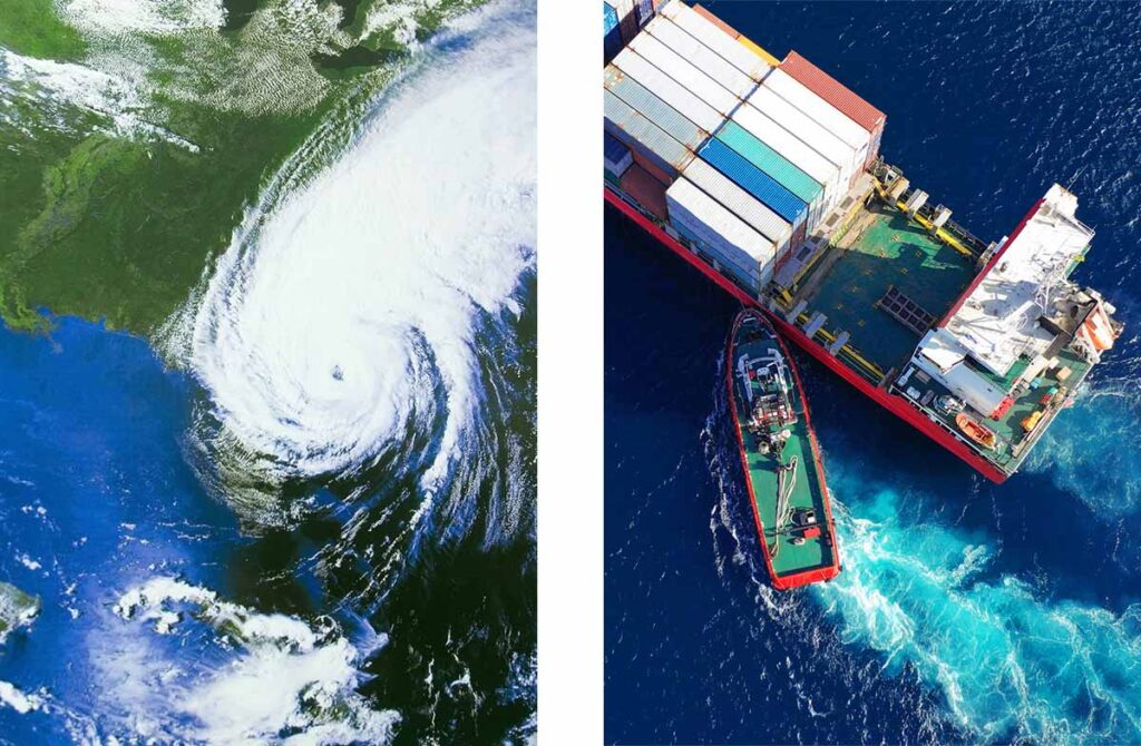
Leading the transition towards a sustainable maritime future
Spire Weather is leading the transition towards greener trade in the maritime industry through digital transformation, climate resilience, and unparalleled global weather coverage across the open oceans with critical data, analytics, and solutions.
What is the Spire Deep Navigation Analytics™ Platform?
Spire’s Deep Navigation Analytics™ Platform is a centralized maritime data hub powered by Spire’s space technology for optimizing voyages, enhancing vessel performance, and weather monitoring solutions. Get easy access to critical maritime data through maritime weather APIS, actionable intelligence and visualization and decision support tools.
Achieve balance in safety, on-time delivery, fuel consumption and remain committed to sustainability. We collaborate with leading innovative partners to develop cutting-edge solutions for technical managers, fleet/network operation managers, developers, and maritime service providers.
The expertise and technology powering Spire’s maritime ecosystem
Over 10 years of research & infrastructure development
At Spire Global, we recognize the value of data in the fight to protect the people, planet and profits. This is why we’ve spent over a decade researching, understanding and analyzing weather and building our very own weather models, so we can predict it more accurately.
To support that mission, we’ve invested our resources to create the world’s largest private nanosatellite fleet to date to scan all points across the globe, especially under-observed regions, such as the oceans.
With our scientific knowledge, robust space infrastructure, and decade-long experience, you can now access precise and accurate 15 day global maritime weather forecasts.
Advancing the science of weather forecasting
Spire Global’s constellation of nanosatellites is designed, built, and operated in-house at our advanced manufacturing facility in Glasgow. Our team comprises leading experts, including PhD-level scientists, meteorologists, engineers, analysts, and more.
Our satellites use cutting-edge radio occultation (RO) techniques to collect over 20,000 atmospheric readings every day. Spire uses its own radio occultation (RO) data to provide accurate global weather predictions for any location on the planet. As the largest producer of RO data, we integrate it with other data sets in our proprietary global weather models to generate highly precise weather forecasts for any point on the globe.
Enhancing maritime operational efficiencies with advanced weather solutions
Voyage Optimization
Get actionable intelligence and strategic insights for your planned route with Spire’s Voyage Optimization. Receive recommended vessel route options based on vessel-specific models and characteristics and your desired outcome (best TCE, minimum fuel, best time or Just-in-time arrival)
Developed in partnership with Theyr, a leading maritime routing company, this revolutionary algorithm optimizes voyages by considering multiple objectives, such as reducing fuel consumption, minimizing emissions, and enhancing safety, all combined with Spire’s weather forecasts.
This empowers shipping companies to make informed decisions that benefit their operations, promote sustainability, and maximize profitability.
Vessel Performance
Improve your fleet’s average vessel performance with instant, swift access to advanced maritime weather information via reliable APIs. Our user-friendly platform ensures effortless access to customized data for AI/ML applications, providing continuous and granular datasets for optimized training. Obtain accurate historical data via our route-based API to tune your vessel performance models.
To unlock unparalleled insights about your vessel’s behavior, acquire Spire’s additional datasets such as its global AIS positional data and global sea ice extent.
Weather Monitoring
Enhance your maritime situational awareness with a complete understanding of your global fleet positional data and visualize weather conditions within the same online dashboard. Use our ShipView tool to visualize the weather conditions on ship traffic around the world in real-time.
Use the platform to monitor your current fleet performance, validate conditions impacting your vessel(s), or monitor rapidly evolving weather forecasts for the latest information to keep your crew, cargo and vessels out of harm’s way. Identify and prepare for weather-related disasters, minimize port congestion and manage terminal safety with access to one single platform.
Customer testimonials
Our weather data making an impact in the real world
“The volume of data, flexibility and support we get from Spire’s weather team is unmatched. We are thrilled to be working with industry leaders as we continue to innovate and build toward a greener, more sustainable future.”
Luc Terral
Co-founder – BluePulse
![]()
“The Spire Weather Forecast excels for open ocean weather forecast accuracy. The level of development and speed of innovation that Spire is putting into its models continues to impress us.”
Nick Olsen
Marketing & Business Development Manager – Predictwind
![]()
“Weather routing has the potential to drive greater efficiency and emissions reduction as open-ocean conditions greatly impact performance. Partnering with Spire Weather puts genuinely market leading data into the hands of more users allowing them to enhance vessel performance.”
Søren Meyer
CEO – ZeroNorth
![]()

Customized solutions for your specific needs
![]()
Voyage Optimization
We deliver multi-objective, data-driven voyage optimization solutions that can be tailored for your specific goal including cost reduction, time optimization, and fuel usage.
![]()
Vessel Performance
Our vessel performance solution leverages analytics and satellite data to optimize the efficiency and operations of maritime vessels, resulting in less fuel usage, better engine performance, and overall sustainability.
![]()
Weather Monitoring
Our weather monitoring services provide customized data reporting and analytical capabilities, allowing you to focus on key data and make informed decisions on how to proceed with your maritime operations.