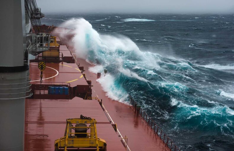
North Sea collision: Searching for answers with AIS data
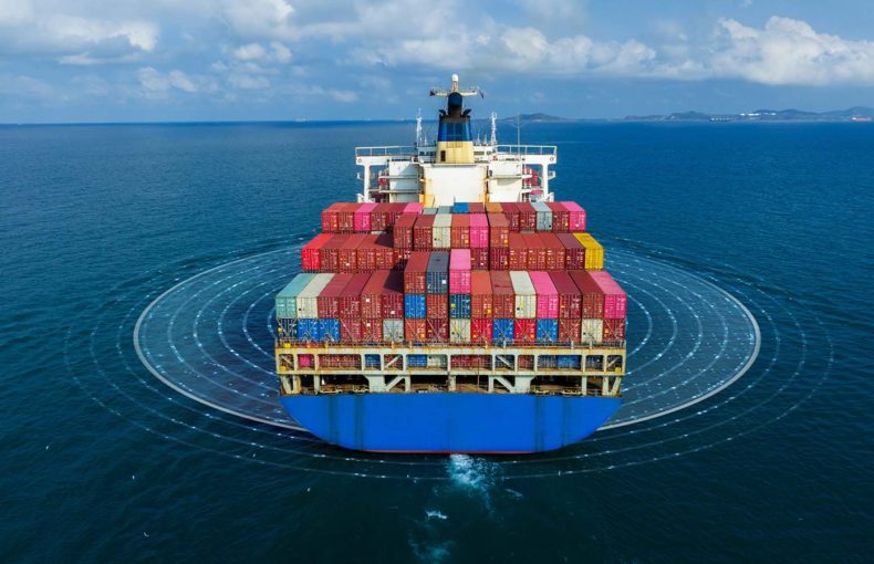
Maritime collisions, while rare, serve as stark reminders of the risks that persist despite modern navigation technology.
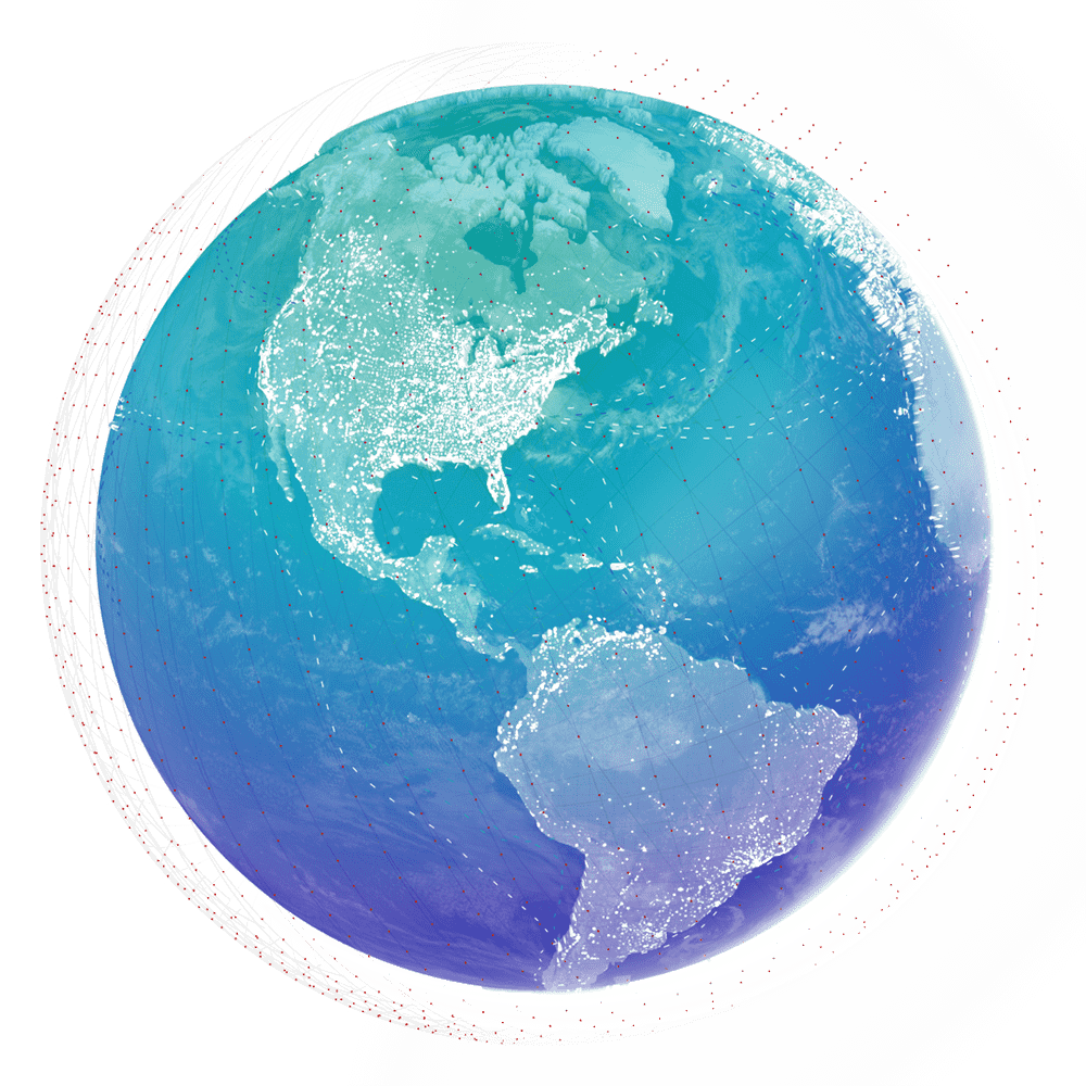
AIS Industry use case
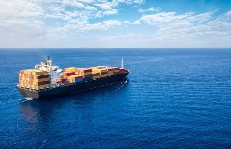
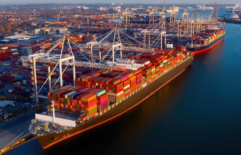
Although shipping is the anchor of the global economy, this intense level of vessel traffic can be a detriment to the marine environment. Spire Maritime AIS data helps organizations across the globe protect the marine environment and the fragile ecosystems contained within our oceans.

Maritime collisions, while rare, serve as stark reminders of the risks that persist despite modern navigation technology.
Understanding past vessel movements, using Historical AIS, is essential for gaining insights into maritime operations, market dynamics, security, risk assessments, environmental impacts, and regulatory compliance.
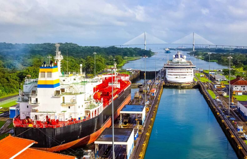
Using Spire Maritime, Weather and Climate data, the root causes of the Panama Canal drought have been put to light.
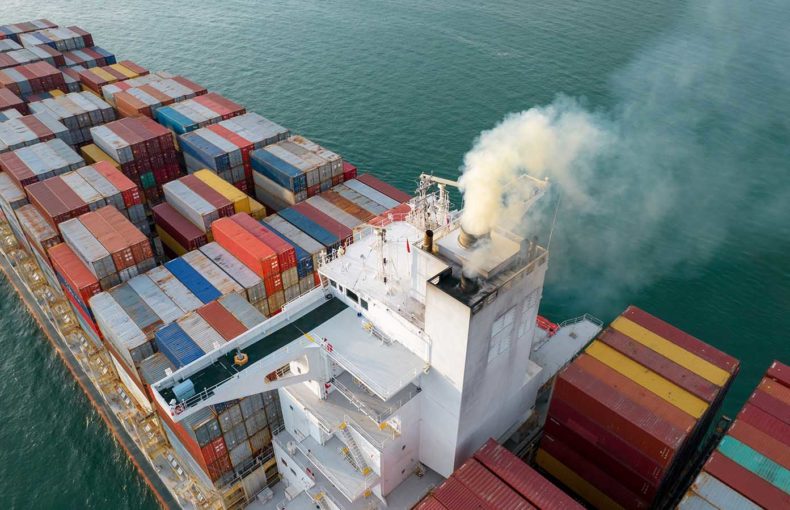
The maritime industry’s commitment to reducing carbon emissions and adopting more sustainable business practices faces a huge challenge.
The UK’s plan assesses the actual efficiency of the ships by focusing on fuel consumption and cargo data, to cut greenhouse gasses (GHG).
Tracking fuel consumption, travel distance, and journey duration, the IMO’s Data Collection System (DCS), while similar to the EU’s MRV plan, has some key differences.

New maritime protocols will be based on collected emission data, and vessel owners and charterers will be compelled and incentivized to reduce emissions.

More decisive actions and commitments are expected at the Conference of the Parties to the United Nations (COP27): 2022 is the ‘Super Year of the Ocean’ and the UN-Ocean Conference reached a collective agreement earlier this year among governments to implement “science-based, innovative” solutions to curb ocean warming.