Here is one thing you should do to lower your shipping emissions
 Written by
Emily Cooper
Contributing editor
There are a number of strategies to consider for achieving lower emissions. Cleaner fuels, efficient hardware and above all data.
Automated Weather Routing is getting a lot of attention lately as it plays a key role in building Greener Operations and Fuel Economy – which are vital to achieving IMO emission standards slated for the future.
Have you ever noticed how much harder running is when you’re running against the wind, or up a hill, or both? You have to work harder to maintain your pace until you reach that point when you want to give up, so you slow down a bit in order to make it to your destination.
Well, ships are like that too. Ocean currents, wind speed/direction, and wave height all impact a ship’s ability to travel efficiently at a certain speed. When the wind kicks up or you begin travelling against a strong current, you’ll need to use more fuel in order to maintain your speed. Vessels have to work against the resistance that wind, wave, and currents deliver and this resistance has a major effect on fuel economy. This is obviously simplifying many factors, but in theory it’s true; if you want to calculate your optimal travel speed in relation to fuel usage, you need to know what is working as resistance against your vessel.
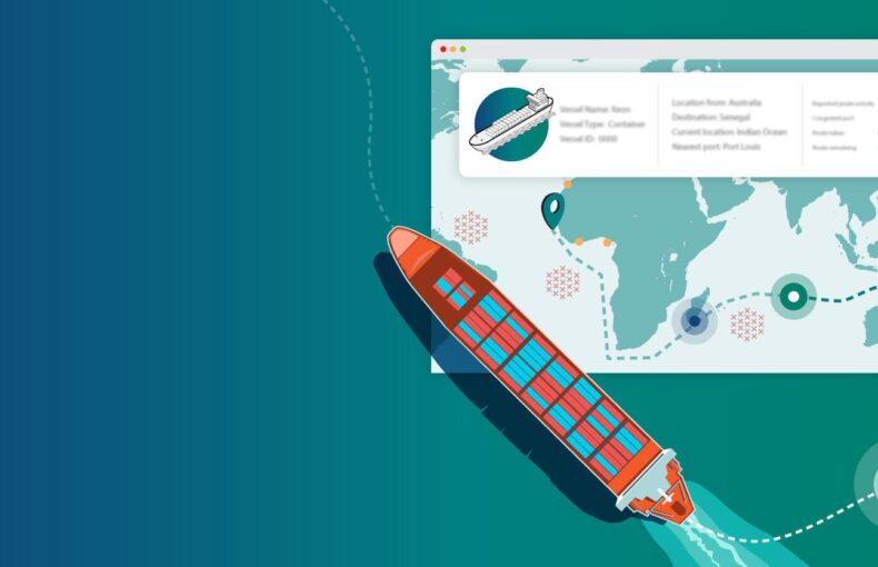
Try our free ETA and distance calculator tool
Get free full-featured access for up to 10 calls a day; calculate ETA and distance to a selection of the world’s main ports.
So what is weather routing?
Weather routing refers to the process of leveraging current and predicted weather and sea condition data to optimize course and speed in order optimize fuel usage, keep to a schedule, and increase crew and cargo safety.
This is not new, climatological routing has been around for years, using historical weather tables and nautical charts to make sure the wind and currents were favorable.
Today we are seeing a shift from more manual methods to data-driven strategic routing, processing data onshore and then communicating it manually to the ship’s bridge crew to provide route optimization throughout the voyage. This semi-digitalized process is already proving very beneficial to optimizing voyages, however it requires having expert onshore crews available that are able to process data and communicate efficiently to the bridge, which incurs heavy costs and leaves a high margin for error.
What if weather routing was as easy as using Waze or other navigational apps, where your course automatically corrects based on the sea’s predicted conditions both real time and three days into the future?
What if every ship knew to slow down ahead of a storm to avoid it?
We are not talking about autonomous shipping, yet, this is about data-driven navigation and just in time shipping.
This may sound very idealistic, but the reality is it is entirely achievable thanks to advances in machine learning and artificial intelligence technology. The maritime industry is a BIG DATA industry, there are volumes of historical data to learn from and leverage to reduce emissions and optimize operations. As the IMO aims for emission reduction targets of up to 70% by 2050, maritime enterprises are finding that data is key to accurately forecasting voyage emissions, before a vessel leaves port.
If you’re looking to build greener maritime operations, advanced weather routing matters and it matters all of the time, not just during seasons known for storms. The IMO has publicly stated that weather routing can save at least 3% in fuel consumption. For larger vessels, like container ships for example, that number soars up to 10%. That’s a lot of savings in an industry with both tight profit margins and increasing emissions regulations.
Why shipping is changing the way we look at emissions
The 2030 compliance standards are set to reduce carbon dioxide emissions by 40% (based on 2008 levels). By 2050, emission reductions are planned to hit the 70% mark. Emissions are measured by the amount of carbon produced per ship. Achieving these reductions will be a huge challenge.
The shipping industry is one of the largest contributors to carbon emissions. Maritime shipping alone uses an estimated 4.4M barrels of oil per day and international maritime transport accounts for about five percent of global oil demand.
Vessels have been reliant on oil containing 3,500x more sulfur than automotive diesel fuel, which results in toxic sulfur oxide emissions with connections to a number of diseases and health risks in communities around shipping ports. A study completed in 2016 estimated that during 2020-2025, air pollution from ships would be linked to more than 570,000 premature deaths worldwide. Additionally, sulfur oxide emissions are also linked to ocean pollution, cause ocean acidification, and crop destruction. The goal of IMO 2020 emissions standards is to quell the negative impacts from maritime emissions.
Our customers achieve goals after adding weather to their data
Our customer, technology company VesselBot wanted to provide their customers access to tools to meet IMO targets to reduce emissions by 50% by 2050 and improve time charter equivalent (TCE). VesselBot integrated Spire’s Weather Forecast data into their TCE voyage optimization system to help its customers reduce emissions, increase profitability and run more efficient operations. They used a combination of data types with advanced technologies such as Artificial Intelligence and Big Data, to develop off-the-shelf and tailor-made digital solutions. Their system helps shipping companies identify optimal sea routes, suggests the optimal speed/rpm, bunkering location, and estimates each vessel’s ETA by considering commercial and other terms.
VesselBot achieved a 30% Emissions Reduction and a 10-15% increase in TCE after adding weather data to their system. You can learn more about how Spire Maritime and VesselBot are working together to build a greener shipping industry in our case study.
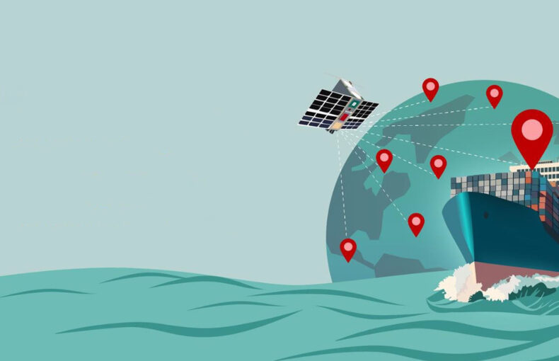
The key to enabling the data advantage is to aggregate as many data points and sources as possible to create a holistic system, providing insights for every aspect of a ship and its voyage. The more data you have, and the easier it is to activate, the easier it will become to scale and automate operations, improve scheduling, and increase safety.
There are a number of strategies to consider for achieving lower emissions. Across the maritime industry companies are working to develop new cleaner fuels, upgrading hardware, and studying shipping route utilization. These are all very important for long term emissions reduction success, however in the short term, these aren’t viable yet and come with very high costs.
Leveraging maritime data, weather data, and digitalization is one strategy that can be implemented quickly and at a lower cost than upgrading or replacing hardware to reduce emissions one voyage at a time.
A data-driven strategy is quick to implement, offers ongoing profitability, and is essential for reducing risk, increasing safety, and maximizing scheduling and earnings.
What’s next?
Choosing your data provider has a lot to do with finding the right partner. Data needs to be easy to access and use to make it worth the investment. It also needs to be accurate, globally sourced, and customized for your use case. Spire Maritime can work with your enterprise to develop data sets that address your individual challenges and help optimize your goals. Spire Maritime offers diversified types of data to serve maritime, aviation, and government entities. Many of our solutions combine our groundbreaking Enhanced Satellite AIS data with our forecast weather data to optimize shipping, fine tune commodity trade flows, and drive charter party agreements.
Contact us today and let’s start a conversation about how our reliable and comprehensive data can help your organization build a greener, more profitable tomorrow.