Radio Occultation in less than 500 words
 Written by
Maureen Thom
Contributing editor
In this mini-blog, we’re taking a look back at how radio occultation (RO) was created and how these remote measurements contribute to building better, more accurate forecasts right in your backyard.
Science can be a tricky thing. Sometimes the best path forward can be found on the path behind you. In this mini-blog, we’re taking a look back at how radio occultation (RO) was created and how these remote measurements contribute to building better, more accurate forecasts right in your backyard.

What is Radio Occultation?
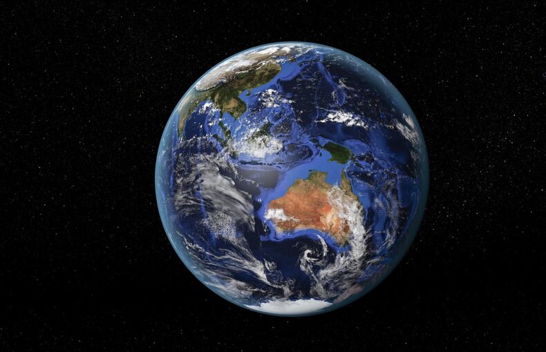
Radio occultation is a measurement that creates a detailed profile of conditions that extend from the Earth’s surface through the stratosphere and into the upper atmosphere (ionosphere). Spire Global makes about 10,000 of these measurements each day. Radio occultation improves the accuracy of weather and space weather forecasts.
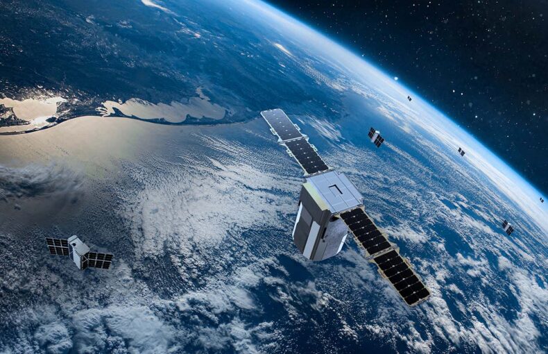
Low-Earth orbit satellites receive GNSS signals that have passed through and been refracted by the atmosphere. The level of refraction is dependent on the pressure, temperature, and water vapor concentration in the lower atmosphere and the electron density in the ionosphere. The radio occultation measurements scan the atmosphere vertically, providing a thorough picture of atmospheric conditions. These measurements can be used to build weather forecasting models, develop atmospheric processes, monitor climate change, and conduct space and ionospheric research.
A brief history of Radio Occultation
In 1965, scientists set out to calculate the temperature and pressure on Mars. Instead of sending a thermometer to the remote planet, they measured changes in the radio signals that a spacecraft transmitted as it traveled behind the planet knowing that the signals would bend as they passed through Mars’ atmosphere. So they worked backwards and studied the signals back on Earth, examining the degree of the bend. This bend measurement was then used to determine atmospheric conditions.
Today, RO is used for remote sensing including weather forecasting, monitoring climate change, and space weather research. RO creates detailed profiles of our atmosphere’s temperature, pressure, humidity, and electron density that is essential for tackling the planet’s current climate issues and monitoring both growth and development of new weather patterns.
Weather in remote locations matters
Leading weather institutions agree that data from remote locations can help boost the accuracy of local weather forecasts. Better predictions translate into earlier storm warnings, more efficient route planning, optimized agricultural practices, and a whole catalog of other beneficial outcomes.
Identifying conditions in remote locations and deep oceans is made easier using RO. The weather forecast data generated from RO results in dependable, high-quality weather forecasts that can be used to plan events, travel open oceans more safely, and develop charter opportunities. From fishing to kitesurfing, enterprises built around ocean ventures require accurate forecasts to operate and keep their crew and passengers safer. RO plays a vital role in this decision making.
Spire currently collects about 10,000 radio occultation measurements globally a day. It aims to collect 100,000.
Many maritime verticals depend on high-quality weather forecasts. Read more about how Spire Global is working with the European Organization for the Exploitation of Meteorological Satellites to support intergovernmental monitoring of the environment and climate change: