How historical AIS data builds better algorithms and more profitable maritime operations
 Written by
Maureen Thom
Contributing editor
Enhanced Satellite AIS historical data includes Enhanced Satellite and satellite AIS data that is easy to use, decluttered, and the perfect way to fuel your machine learning and predictive models.
How historical AIS Data Builds Better Algorithms and More Profitable Maritime Operations
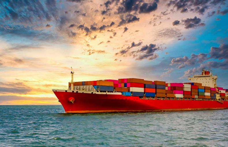
It all started with one idea: to provide the most complete AIS tracking data in the industry and it resulted in our world-first innovation, Enhanced Satellite AIS. Enhanced Satellite AIS is Spire Maritime’s groundbreaking service that combines satellite, terrestrial, and Enhanced Satellite AIS™ data in one service delivering unprecedented AIS data coverage with no gaps, even in the busiest shipping lanes in the world. Enhanced Satellite AIS historical data is now available and includes Enhanced Satellite and satellite AIS data that is easy to use, decluttered, and the perfect way to fuel your machine learning and predictive models.
Meet Enhanced Satellite AIS
The solution for more robust ship tracking data.
How maritime data
reduces costs and
builds transparency
A closer look at how Maritime data
has a direct impact on profitability
We believe data transforms the way we view our world and we also believe you can learn a lot by looking at the past. This historical data offering holds insights into traffic patterns, supply and demand, routing, and risk mitigation. It can fill in gaps that your own data might have and improve your algorithms for more reliable predictive models. In high traffic zones, where AIS shows frequent gaps in position updates, Enhanced Satellite AIS delivers more position updates than satellite AIS alone. More than machine learning fuel, our historical data helps our customers make data-driven decisions for the future with confidence.
Frequent position reports are especially important for high traffic zones, where seas are congested and conditions can change quickly and become dangerous. The South China Sea is known for dangerous conditions, including large storms, high waves, and heavy shipping traffic. More frequent and detailed data provided by Enhanced Satellite AIS makes it possible to track ships in this area very closely.
With e-navigation for maritime becoming a reality in the near future, many maritime companies are using data to determine the most efficient routes and visualize trade patterns. Our historical Enhanced Satellite AIS and Enhanced Satellite AIS subscription service are two ways to use data in different capacities to improve your operations. The Enhanced Satellite AIS difference is the completeness of the reporting and position updates in the areas that are considered the most important – the high traffic zones. The more position updates you have, the more certainty you can have in the decisions you make based on this data.
In Challenging Times, History Can Often Lead the Way
As the maritime industry faces a challenging year ahead, managing both the pandemic and climate change, many maritime companies are utilizing historical data to increase situational awareness and optimize their operations. Data and predictive analytics are becoming an important part of day-to-day maritime operations. From companies looking to improve profit margins and safeguard cargo to port operators scheduling open port times, data can help you achieve your business goals.
Tracking the World, One Ship at a Time
Enhanced Satellite AIS uses thousands of satellite-enabled AIS receivers traveling throughout the busiest shipping lanes in the world. It provides an unprecedented frequency of position updates in areas that are out of the reach of terrestrial collection and overwhelm other satellite AIS providers. Enhanced Satellite AIS delivers 150k more MMSIs and a 150% increase in reported position updates in high traffic zones. More AIS messages and more unique MMSIs mean greater control of ship operations. From mapping the most efficient routes for fuel economy to plotting supply and demand based on ship location, ship operators can manage logistics and port arrivals to optimize revenue.
Many maritime companies that already use archived data struggle with gaps in data in high traffic zones and the areas surrounding congested ports. Enhanced Satellite AIS solves these large gaps in key areas like the South China Sea and the English Channel. Lacking accurate vessel position data impedes trade analysis, forecasting, and route planning. The seamless coverage that Enhanced Satellite AIS delivers is unprecedented and we think it’s a game-changer.
Taking the Guesswork out of Decision Making
When you can visualize traffic patterns in the world’s busiest shipping lanes, you increase situational awareness and allow for anomaly detection. Historical data is the best way to do this. Looking at archives lets you see exactly when a ship deviates from identified route patterns. If you’re developing a learning framework to be used for vessel monitoring to reconstruct selected routes to better understand maritime traffic patterns for example, historical data without any gaps would be essential to building a reliable framework. Enhanced Satellite AIS is the only historical data that delivers seamless AIS data in high traffic zones with no gaps in coverage. This type of continuous coverage helps you identify vessel types and detect abnormal vessel behaviors with confidence.
Forecasting in the maritime industry plays a central role for all parties. Historical data allows for both short and long-term forecasting for resource allocation, capacity planning, and investment decisions.
Easy to Use and Customizable
We offer maritime data that is easy to access, completely customized for each customer, and comes with sales engineering support. We know that if your data is challenging to use, you won’t see the real benefits it can offer. Many maritime products provide a template of information that isn’t tailored to the special needs of the maritime industry.
We give you two ways to purchase Enhanced Satellite AIS:
- You can purchase historical satellite AIS data combined with Enhanced Satellite AIS. This unique historical data will allow you to make informed decisions about routing, scheduling, and traffic patterns in high traffic zones. It can also boost your predictive models.
- Our monthly subscription provides our global data and sales engineering support. Enhanced Satellite AIS is available through an API or Raw TCP feed.
Looking for more information on our historical Enhanced Satellite AIS? Check out our data solutions page for information on all of our historical AIS industry solutions or send a request for more information to a sales representative.