This is why wave data matters to you
 Written by
Maureen Thom
Contributing editor
Maritime use cases:
If you asked a surfer and a sailor to describe the perfect sea wave, you would get two very different answers. The large waves that surfers crave; the ones with great height and enough power to take you all of the way back to the shore, aren’t necessarily the best waves for sea navigation.
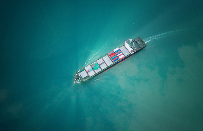
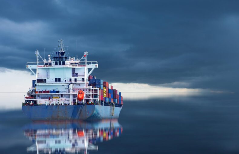
These large waves can damage vessel hulls, cause cargo to topple into the ocean, and put the lives of crew members in harm’s way. Shipping companies and other maritime service providers are recognizing the need for more precise wave forecasts. This data adds value to operations and services because it is detailed, high-resolution wave data that is accurate and comprehensive.
To better understand the impact that different types of waves have on maritime operations, let’s take a look at the different types of waves:
Wind waves – Wind waves are caused by the friction between local winds and surface water. They are directly caused by the wind in that location.
Swell waves – Over time and distance, sustained wind strength and duration build up a large amount of energy beneath the ocean’s surface, forming deeper waves known as swells. Such energy can enable swells to travel thousands of miles across the ocean without changes in height or shape, until they reach a distant shore as breaking waves. Swell waves are an example of gravity waves, or oscillations of matter driven by gravitational force.
Tidal waves – Tidal waves are generated by ocean tides and therefore indirectly by the gravitational forces of the moon and sun. Tidal waves are considered predictable events because ocean tides are predictable events. The terms “tidal waves” and “tsunamis” are sometimes used interchangeably, but this is not technically accurate.
Tsunamis – Tsunamis are long-period oceanic waves driven by gravitational force. They are typically generated by an underwater geological event, such as an earthquake, volcanic eruption, or a submarine landslide. Melting glaciers can also induce landslides which have the potential to generate tsunamis. The resulting abrupt change in sea-surface height from such an event sends a set of long waves propagating outward from the point of origin. As the waves approach the coastline and the water shoals, they are amplified and can be extremely destructive, depending on the shape of the coastline and the bathymetry (the underwater equivalent of topography). In particular, as the tsunami enters the shoaling water, the wavelength shortens, the speed decreases, and the amplitude increases, whilst the period remains constant.
We created a FAQ that covers wave characteristics and wave types in detail and includes visual samples of our data so you can see the waves in action.
Waves impact vessel performance regardless of type
Regardless of size, waves affect vessel performance. Waves push against vessels and create ship movements that make travel less straight, and therefore less efficient.This friction has a direct effect on fuel economy, travel speed, mapping, and arrival time estimating. Beyond basic operations economics, waves cause physical damage to vessels. From cargo being knocked overboard to equipment and hull damage, waves are a constant source of considerable damage to vessels and their contents.
Discover our free Maritime Weather demo tool
Preview our trusted open ocean weather forecasts, including wave data, alongside real time vessel positions.
Certain oceans and localized areas are known for large waves that present significant challenges to maritime operations in terms of safety and efficiency. Areas like the Black Sea or the South China Sea, are particularly treacherous and can damage vessels and equipment, cause vessels to sink, as well as pose a serious hazard to crew. Collecting AIS data in these areas is also challenging and often results in large gaps without any transmissions. Spire created Enhanced Satellite AIS, to help solve this data gap issue. Enhanced Satellite AIS combines three types of AIS data to deliver more AIS messages than before.
Learn more about Enhanced Satellite AIS in our ebook
Climate Change serves up a mix of weather events, Data helps build a strategy to cope
Climate change delivered a record breaking 2020 storm season that had a major impact on maritime operations. As weather patterns continue to be unpredictable, recently winds caused a vessel to veer off course and block the Suez Canal and warmer than usual North Pole temperatures served up a shift in the polar vortex resulting in strange weather conditions across the US and Europe. Advances in maritime data and machine learning have led to improvements in the ability to run complex, accurate simulations of how vessels and equipment work in an array of conditions. These simulations allow researchers to test vessel performance in a wide variety of unpredictable events, providing maritime operators with the ability to plan vessel speed, course corrections, and inform ports of adjusted arrival times to avoid delays brought on by weather events.
Waves are important factors in these models. Wave forecasts can also be used in simulations to optimize fuel use and reduce emissions. Learn more in our case study with customer Oldendorff, one of the world’s largest dry bulk shipping companies, and how they used our weather and wave forecasts in a digital twin simulation. Their model aimed to optimize their fuel consumption, based on intelligent route planning and other factors.
You have to see weather around the globe to better predict your local weather
Observing weather around the globe improves predictions and forecasts. To accurately forecast one location, you need variables occurring across the planet. Weather conditions change and morphe as they move through different areas and this evolution results in your localized weather forecast. Measuring atmospheric conditions on Earth using sensors attached to buoys, balloons, planes, and satellites creates a complex data set of observations that allow researchers to visualize a chain of events. Read more about the complex process of weather data collecting in our blog.
Spire covers the planet
Spire Weather offers a highly valuable and truly global weather forecast enriched with unique data from Spire’s satellite constellation — a more precise and easier to use forecast with customized variables for the maritime industry. Our maritime weather data pairs perfectly with maritime tracking. Maximum insight, minimum friction. Contact us and we can create a customized data set for you.