The unique ways radio occultation impacts numerical weather prediction models
 Written by
Spire Weather
Scientists are using remote sensing methods to help improve the accuracy of numerical weather predictions across oceans.
Capturing data from space about conditions over oceans
Whether embarking on a multi-day cruise from Panama to the Solomon Islands or puttering around Palermo’s coast, accurate weather forecasts are essential for both expert and novice sailors alike. A detailed understanding of wind speed and direction separates a pleasant trip from a perilous journey.
“Back in the old days, people weren’t able to get reliable data that easily,” said Nick Olson, PredictWind’s marketing and business development manager. “So what we’ve done is try to make that as simple and accessible as possible. Having that data available is critical.”
PredictWind provides the sporting and leisure maritime community around the world with high-quality forecasts. The company created two proprietary weather prediction models with resolutions as fine as one kilometer. It provides two alternative forecast models—ECMWF and GFS—for comparison. It also equips sailors with detailed maps, weather routing tools, a departure planning guide, forecast alerts, and live wind observations.
These world-leading forecasts and tools wouldn’t be possible without data. Because when it comes to forecasting, predictions are only as accurate as the information initially entered into the model. Collecting data at sea, however, is no easy task.
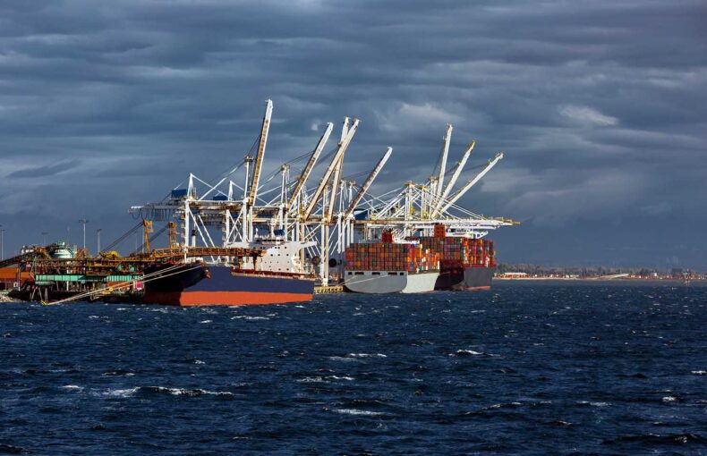
While weather stations and sensors are common on land, the same cannot always be said for the ocean. Spire Global helps overcome this limitation by using remote sensing techniques such as satellite radio occultation. It allows the capture of detailed temperature, humidity, and pressure information across the entire planet, including our vast oceans’ under-observed corners. The added data is not only beneficial for the sailing community but also the maritime industry and forecasting everywhere.
On 19th November, PredictWind and Spire Global experts will host a webinar focusing on data collection, modeling, and weather forecasting at sea, which you can sign up for below. We spoke with three of them about the topic ahead of time. Here is an overview of our conversations, edited for clarity.
Dr. Jack Katzfey, PredictWind’s head meteorologist.
Mike Kay, Engineering lead at Spire Weather.
Nick Olson, PredictWind’s marketing and business development manager.
What are the challenges of collecting data for weather models over oceans?
Mike Kay: Meteorologists have traditionally struggled to capture data across our oceans. They are limited when it comes to in situ observations, compared to what is possible on land. It’s also a much more challenging space to collect observations, be it the corrosiveness of seawater or the distance from land you need to travel to service instrumentation. It’s a much taller hurdle to get over.
Near-surface observations come from ships and buoys but these are limited in both number and location. Then you’ve got aircrafts with sensors that are flying at cruise altitude, typically miles above the surface, only collecting data along their flight paths. Satellites with microwave sounders, which capture temperature data, fill in some of the gaps in-between at a coarse resolution. But even the combination of these datasets leaves you with sparse data coverage over the oceans.
Jack Katzfey: Like Mike said, trying to collect observations over oceans gets tricky. Especially at the surface. There just aren’t as many surface observations for detailed information over the ocean. You have superior coverage over land so you can get a much better picture of what’s going on. And for forecasting, you also need to know the full profile of the atmosphere. I think the vertical resolution is, in fact, probably most important.
That’s a perfect segue. How do these challenges impact forecasting overall?
Jack Katzfey: Because you don’t have detailed and fine resolution observations to start the models, you’re a little bit behind the game when it comes to forecasting for the open ocean. To make a forecast better, you need to get more information over the oceans.
That’s why one of the key things always at the forefront of meteorologists’ minds is how to get more observations. And then how to use those observations to create better initial states that we enter into models.
Mike Kay: Right, we are always searching for new sensors that will help fill in the gaps to give us the best snapshot of the atmosphere to initialize our numerical weather prediction models.
Ideally, we want the combination of knowing everything, everywhere, all the time. So we are always looking for better datasets that give us more high-resolution data in space and time out over the oceans. That forces us into using remote sensing techniques from satellites, like radio occultation.
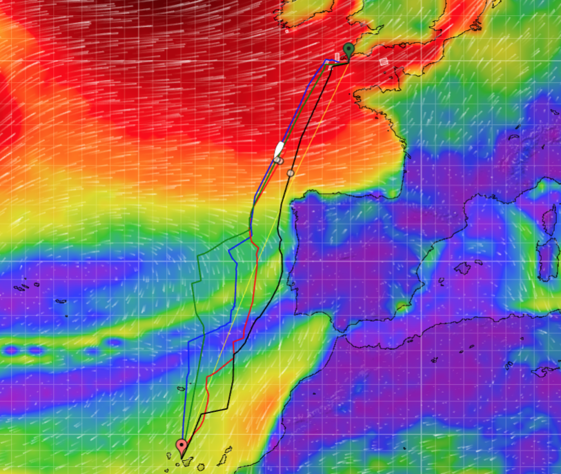
PredictWind app: weather routing and wind map display
Can you explain that further, how is Spire helping to overcome the data collection challenges and fill in the gaps for forecasting?
Mike Kay: This is where radio occultation really shines for us. The key thing about the R.O. data is it’s an unbiased measurement with very little error. You get this ubiquitous and precise monitoring at a scale that you could never get from traditional observations like radiosondes.
Explained quickly, radio occultation measures how much GPS signals bend as they pass through the atmosphere between satellites. We can use this measurement to reveal the temperature, pressure, and humidity at a specific instant. And then as the satellites continue to orbit, and as they continue to relay signals, we can then capture a detailed vertical profile of the atmosphere.
It’s so beautiful and elegant, you’re just measuring these signals, and you end up with high vertical resolution profiles, about an order of magnitude better than the measurements from other satellites capturing temperature data. And radio occultation doesn’t just help us nearer the earth, but higher up as well, all the way into the stratosphere and above.
When we get large numbers of radio occultation measurements from our constellation of satellites, which are constantly orbiting all around the world capturing data, we end up with truly global coverage at a very high resolution.
We currently collect about 10,000 profiles per day and our weather forecasts are already showing significant accuracy improvements. The UK Met Office and ECMWF saw a noticeable improvement by incorporating Spire’s radio occultation data into their models. Our vision is 100,000 or more profiles a day, which has the potential to impact weather forecasting like few data sets ever have.
How might collecting data by radio occultation measurements improve weather forecasting over oceans?
Jack Katzfey: From what I have seen in the various analyses done using Spire’s radio occultation, they provide more observations over the oceans, which then can provide better initial conditions for models.
Nick Olson: And it sounds like Spire’s model will help solve problems in remote areas where there is a smaller amount of data going into the models. From what I understand, there is nowhere they don’t have a full data set that’s fresh to enter into the model.
Mike Kay: It’s also worth mentioning that in gaining better access to data over oceans you end up with better forecasts over oceans and over land, given the fact that everything is connected to everything else. Everyone benefits.
“The Spire Weather Forecast excels for open ocean weather forecast accuracy. The level of development and speed of innovation that Spire is putting into its models continues to impress us.”
Nick Olson
Marketing and Business Development Manager, PredictWind
Share on Facebook Share on Twitter Share on LinkedIn