In efforts to combat illegal fishing around the world, Spire AIS data provides:
Immediate identification of non-cooperative IUU vessels in the vicinity of legitimate fishing vessels, allowing for a more targeted response
Dynamic data that allows authorities to identify spoofed position reports when comparing a vessel’s reported latitude and longitude
Extended surveillance range beyond traditional methods to include areas where vessels are not intended to be fishing
Relevant blog posts on Illegal fishing activity

How Position Validation is changing the insights into AIS and helping to solve dark vessel detection
AIS Position Validation is the advanced Radio Frequency signal-based solution leveraging the unique real time coverage offered by the Spire satellite constellation providing continuous global coverage to validate vessel positions, whether vessels are near-shore or in mid-ocean.

COP 27: 4 ways AIS and weather data can be used to reduce maritime carbon emissions
More decisive actions and commitments are expected at the Conference of the Parties to the United Nations (COP27): 2022 is the ‘Super Year of the Ocean’ and the UN-Ocean Conference reached a collective agreement earlier this year among governments to implement “science-based, innovative” solutions to curb ocean warming.
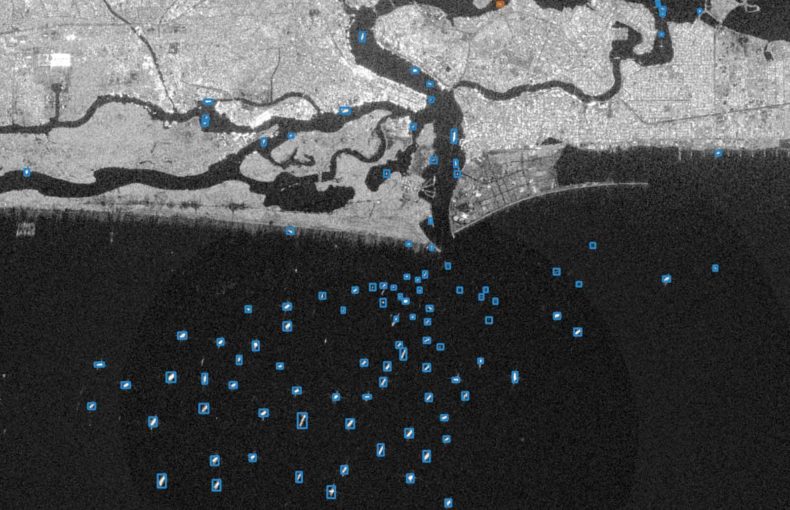
SAR + AI/ML for dark vessel detection: the xView3 challenge
When one thinks of “dark vessels”, typically the term is associated with illegal fishing and decimating the marine food chain.

Maritime AIS: Why data quality matters
For virtually any commercial business or organization (governmental or non-governmental) in the modern world, the collection of quality data is of elemental importance.

Mitigating marine shipping risk with big tech tools
For most people working in the shipping industry, making the right decision within a specific context drives decision-making.
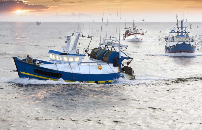
Leveling the playing field: A high-tech tool for small-scale and artisanal fisheries
It is no secret that the world’s largest vessels, the gargantuan oil tankers and container ships that travel the oceans while transiting between ports, are decked out with the latest tech.

Vessel tracking data delivers greater value for fisherman
Vessel tracking data helps fishing community maximize price per kilo and promotes sustainability and higher quality products,

Beta Begins: New solution delivers improved performance, quality, & innovation
Our new offering, Maritime 2.0, reduces duplicate MMSIs from 20% to 1%.

