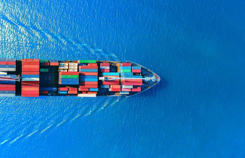
The ultimate guide to multi-objective voyage optimization: What is it and why do you need it?
Published June 16, 2023Learn how you can save up to 10% in fuel consumption, compared to traditional algorithms.
Read more Learn how you can save up to 10% in fuel consumption, compared to traditional algorithms.
Read more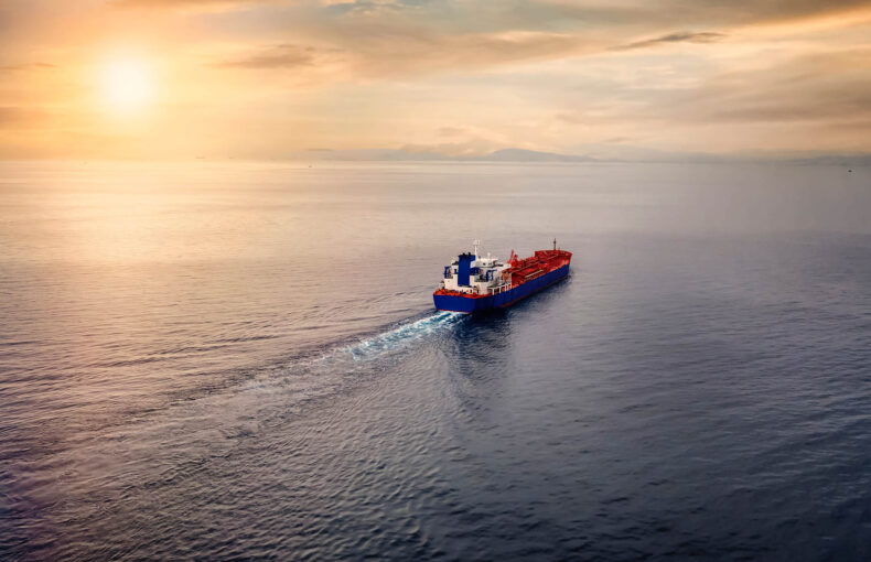
Download your free whitepaper infographic to see the metrics by which you could potentially improve your ETAs, transit time and fuel consumption
Read more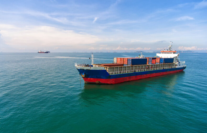
Discover how cutting-edge AI-powered solutions revolutionize voyage planning and optimization, enhancing efficiency, fuel savings, and profitability.
Read more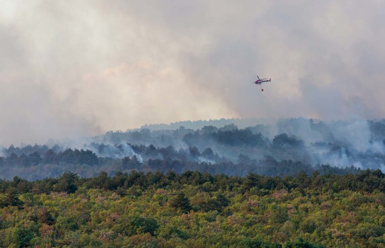
Wildfires can either crackle and hiss out quickly or can extend their damages within a heartbeat to thousands of acres of land.
Read more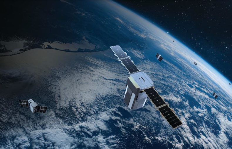
Understand the power of satellite technology in minimizing supply chain disruptions
Read more
Given the direct impact of weather, learn which are the most common weather events that ground airplanes, take out the keys from the truck’s ignition, cut off rail connections and anchor or delay ships?
Read more
Learn how weather data can help you build a climate-resilient supply chain
Read more
Learn how accurate weather and AIS data can optimize your port operations with better ETAs prediction, berth space allocation and safety across all layers.
Read more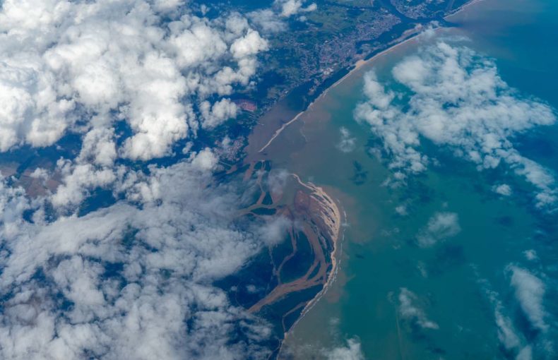
Learn how the weather today influences the climate and your business for generations to come.
Read more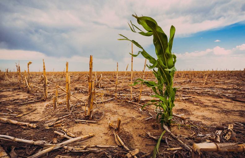
Learn how reducing carbon emissions can minimize the impact of climate change on your maritime operations
Read more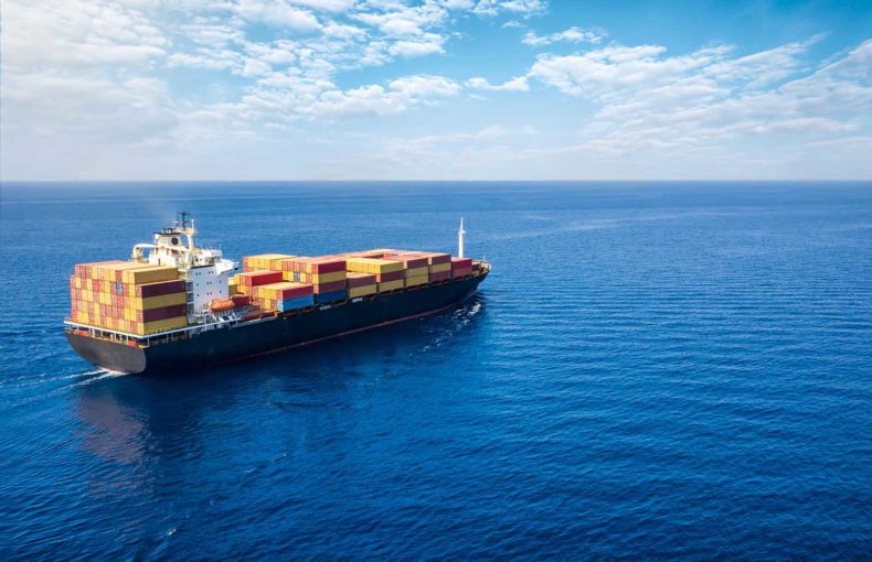
Our Maritime Weather Data was built to boost your strategy, keep your crew and cargo safe, and add value to your organization’s planning.
Read more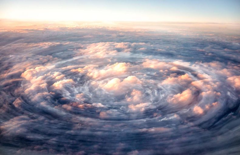
Is it possible to reduce the margin of error in weather forecasting? Download our free white paper to learn the 4 top reasons why weather forecasts can be unreliable after the 15 day mark.
Read more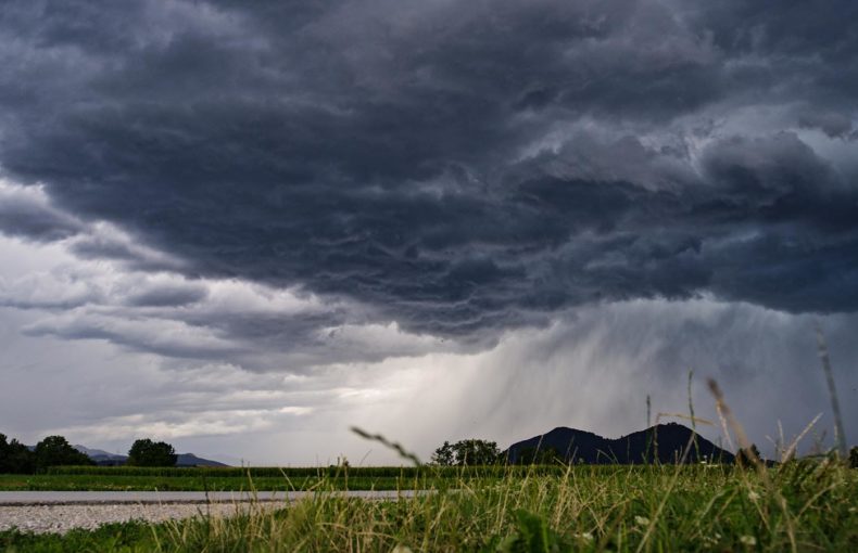
Download our free white paper and learn how satellite technology is reducing weather forecast errors and alleviating the risks of natural disasters around the world.
Read more