World-class researchers use global AIS data
 Written by
Olga Kadeshnikova
Customer Success Manager, Spire Maritime
As a member of the Russell Group, a U.K. designation that signifies status as an elite research institute, the University of Exeter is known as a place where the best academic tools are embraced to better understand the world around us. It’s the kind of research that is the foundation for tackling many global challenges.
The setting of the university’s four campuses spread across Devon and Cornwall—England’s southwest corner—is dominated by the sea. The English Channel to the south, the Celtic Sea to the west, and the Bristol Channel to the north.
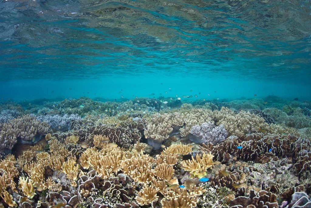
So it is no surprise that one aspect of the research tradition at Exeter focuses on marine issues. And as a premier research university, it is also no surprise that its staff has incorporated the latest methodology into their investigations. Such efforts have included partnering with Spire Maritime to use automatic identification system (AIS) data that is used for tracking vessels at sea to undergird research efforts regarding a range of maritime topics.
A research powerhouse
![]() The roots of the University of Exeter date to the 19th century, over the course of which the four institutions that would eventually be merged into the modern college—St. Luke’s College, Exeter School of Science, Exeter School of Art, and the Camborne School of Mines—were founded. In 1955, as part of the post-World War II expansion of higher education opportunities throughout the United Kingdom, the University received its royal charter.
The roots of the University of Exeter date to the 19th century, over the course of which the four institutions that would eventually be merged into the modern college—St. Luke’s College, Exeter School of Science, Exeter School of Art, and the Camborne School of Mines—were founded. In 1955, as part of the post-World War II expansion of higher education opportunities throughout the United Kingdom, the University received its royal charter.
Today, the university comprises four campuses, two in Devon (Exeter’s Streatham and St. Luke’s) and two in Cornwall (Truro and, in partnership with Falmouth University, Penryn).
Now a major research university with an international presence, expanding knowledge is one of its core missions: “Our research is at the heart of what we do and is making a difference across the world. We unite expertise from across our academic disciplines, breaking down barriers to create innovative solutions to complex, global challenges.”
The Research Assessment Framework, an annual ranking of U.K. universities, consistently ranks Exeter in its upper echelon.
Exeter Marine
Marine research and education is embedded in Exeter across all Faculties. From maritime law through to fisheries, blue carbon, and renewable energy, we have expertise in almost every area. Exeter has attracted this range of researchers in part because of location and proximity to marine environments, as well as the burgeoning reputation for excellent research and education. This has seen marine being a key theme in Exeter’s recent rapid growth.
Exeter Marine consists of some 500 academics, postdoctoral scientists, and postgraduate research students. Exeter is the only UK institution to have formal collaborative agreements and shared marine staff appointments with Plymouth Marine Lab, UK Met Office, Cefas and the Marine Biological Association of the UK. Exeter also has staff holding honorary chairs from ZSL Marine Conservation and British Antarctic Survey. This adds great depth and reach to the Exeter Marine community. Exeter Marine researchers are found in two of our world leading research institutes.
Living Systems Institute
One unique feature at Exeter is the recently opened Living Systems Building, which is a multidisciplinary, shared working space that brings together biologists, mathematicians, physicists, medical researchers, and engineers. The goal is to lay the foundation for innovation that spans specializations. The institute is meant to promote “cutting edge research within an environment that recognises the aesthetic, ethical, ecological, societal as well as economic implications of scientific discovery.”
Environment and Sustainability Institute (ESI)
Opening in 2013 on the Penryn campus, the ESI is “an interdisciplinary centre leading cutting-edge research into solutions to problems of environmental change.” Funded in part by the European Regional Development Fund Convergence Programme and the U.K.’s South West Regional Development Agency, it sponsors research projects around the world while emphasizing research with a local impact.
The rising trend of AIS-based research

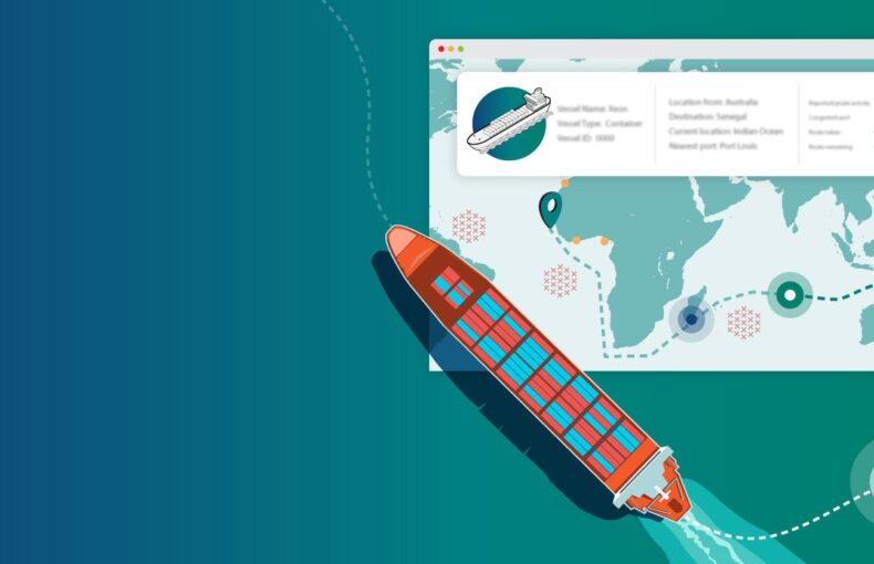
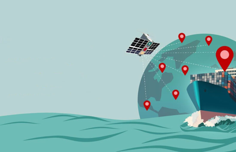
Not surprisingly, an institute of higher learning as innovative as Exeter incorporates some of the most cutting-edge modes of data gathering. As is increasingly becoming recognized in academic circles, AIS data is a rich source of information for both large-scale and localized research.
As a paper presented at the International Conference on Computer Aided Systems Theory (EUROCAST 2015) stated a few short years ago: “It [AIS] was originally conceived as a navigational aid for ship monitoring and collision avoidance at sea that over time, has evolved into a system with a multitude of additional applications, including experimental systems in academic and research environments.”
AIS data is now being used in several fields of research.
Finding a new partner in Spire Maritime
The powerful role that AIS data can play in scientific investigations is why the University of Exeter has begun developing a working relationship with Spire. One of the strongest uses of AIS data is to monitor ship traffic in maritime ecosystems, especially marine protected areas, as a way of better understanding and managing the stress it can cause.
Here are three examples of research projects in which AIS data played an important role.
Getting a Handle on What’s Going On
Marine spatial planning is one of the most impactful approaches to providing better protection for a wide variety of ecosystems. But as the paper “Using Satellite AIS to Improve Our Understanding of Shipping and Fill Gaps in Ocean Observation Data to Support Marine Spatial Planning” (published in the Journal of Applied Ecology) points out:
“A key stage underpinning marine spatial planning (MSP) involves mapping the spatial distribution of ecological processes and biological features as well the social and economic interests of different user groups. One sector, merchant shipping (vessels that transport cargo or passengers), however, is often poorly represented in MSP due to a perceived lack of fine-scale spatially explicit data to support decision-making processes.”
Share on Facebook Share on Twitter Share on LinkedIn
The paper explores the inherent power of data from Spire Maritime:
“… satellite-derived automatic identification system (S-AIS) data can address gaps in ocean observation data for shipping at a national scale. We also demonstrate how fine-scale (0.05 km2 resolution) spatial data layers derived from S-AIS (intensity, occupancy) can be used to generate maps of vessel pressure to provide an indication of patterns of impact on the marine environment and potential for conflict with other ocean user-groups.”
Share on Facebook Share on Twitter Share on LinkedIn
The lead author for the study was Kristian Metcalfe, a senior lecturer in Marine Conservation Science at the Centre for Ecology and Conservation, which is located on Exeter’s Penryn campus. Other Exeter faculty playing a role were Rachel A. Turner, Matthew J. Witt, and Brendan J. Godley. Partners included Congo’s Ministry of Scientific Research and Technological Innovation, Britain’s Natural Environment Research Council (NERC), the Darwin Initiative, the Wildlife Conservation Society, and Rénatura (a Congolese NGO).
The study found that shipping had a profound impact on the Republic of Congo’s exclusive economic zone (EEZ), the coastal area over which a nation has jurisdiction (which extends approximately 230 miles). The data gleaned was invaluable to the study:
“S-AIS data can be used to derive a range of fine-scale data layers that reveal the true extent of vessel activity beyond the range of conventional AIS which is typically limited to territorial waters. For example, this study shows that shipping dominates ocean use with the four major vessel categories (passenger vessels, offshore service vessels, bulk carrier and cargo vessels and tankers) operating within a combined area equivalent to 92.0% [which] far exceeds the areas allocated for, and used by other human uses such as conservation areas, fisheries zones and petrochemical concessions.”
Share on Facebook Share on Twitter Share on LinkedIn
The ability to create such “deep” maps of human activity will be invaluable moving forward and is fast becoming the basis for maritime analytics.
Better Protecting Marine Fauna
Another study, “A Novel Approach to Estimate the Distribution, Density and At-Sea Risks of a Centrally-Placed Mobile Marine Vertebrate,” used AIS data—in concert with animal tracking efforts—to identify areas most suitable for protected status with regards to safeguarding a specific species. In this case, the Gabonese leatherback turtle’s habitat and migration patterns were studied to “identify key at-sea areas in which protection for inter-nesting leatherback turtles could be considered within the coastal zone of Gabonese Exclusive Economic Zone (EEZ).”
Led by the Exeter research fellow Stephen K. Pikesley, the project explored the inherent difficulties of preserving the habitat of species that are at home in both coastal areas and the open ocean:
“Formulating management strategies for mobile marine species is challenging, as knowledge is required of distribution, density, and overlap with putative threats. As a step towards assimilating knowledge, ecological niche models may identify likely suitable habitats for species, but lack the ability to enumerate species densities. Traditionally, this has been catered for by sightings-based distance sampling methods that may have practical and logistical limitations … We contextualise modelled patterns of distribution with putative threat layers of boat traffic, including fishing vessels and large ship movements, using Vessel Monitoring System (VMS) and Automatic Identification System (AIS) data.”
Share on Facebook Share on Twitter Share on LinkedIn
Being able to overlay the traffic patterns of vessels that would pose a threat to sea turtles was a key aspect of the study, one that entailed both time and place layers in specific areas:
“Mapping spatial overlap of leatherback turtles and vessel distribution indicated that the coastal waters of Pongara and Mayumba National Park were subject to high levels of putative threat throughout the leatherback nesting season. There were also isolated areas of moderate/high putative threat within coastal waters from Port Gentil to Sette Cama Reserve, primarily due to coastal fisheries and seismic vessels present within the area. There was variation in magnitude and timing of threat among locations. Spatially, co-occurrence was greatest at Pongara at the beginning of the season (October/November), principally due to the heightened level of coastal fisheries activity, and from Port Gentil to Sette Cama and within and adjacent to Mayumba Marine Park during peak season (December/January/February) and post-peak (March/April).”
Share on Facebook Share on Twitter Share on LinkedIn
This kind of granular understanding can provide regulatory agencies with the information needed to better balance commercial interests and ecological preservation. Restrictions can be developed for specific areas during specific timeframes that maximize the protection of marine fauna and minimize economic impacts.
This study was also supported by the Central African Regional Program for the Environment (CARPE), the EAZA ShellShock Campaign, the Gabon Sea Turtle Partnership, the U.S. Fish and Wildlife Service, and the Large Pelagics Research Centre at the University of Massachusetts Boston.
Capturing the maritime impact of COVID-19
Finally, in the realm of the social sciences, the impact of the pandemic has sent economists and supply chain managers scrambling to better understand its direct effects and the knock-on consequences that continue. One basic category of information was getting a macroeconomic understanding of how existing trade routes were impacted.
Led by four researchers from Exeter and Spain — David March, Joaquin Tintoré, Metcalfe, and Godley, the study was published last year in Nature Communications under the title “Tracking the Global Reduction of Marine Traffic During the COVID-19 Pandemic.” It was a methodical “approach [to providing] guidance for large-scale monitoring of the progress and potential effects of COVID-19 on vessel traffic that may subsequently influence the blue economy and ocean health.”
In the earliest phase of global lockdowns, localized effects on shipping were readily apparent, but a “big picture” of what was happening to the global supply chain required harnessing new tools. This is where AIS data came into play:
“Localised studies have already reported short-term declines in underwater noise, water turbidity and fishing effort as a result of the reduction of the vessel activity during the first wave of the COVID-19 outbreak. However, as mobility restrictions vary among countries and maritime sectors, the spatio-temporal effects of COVID-19 on ship-based activities and their influence on the marine environment are still unclear at global and regional scales.
Fortunately, recent technological advances associated with the Automatic Identification System (AIS), in particular the emerging constellations of microsatellites (S-AIS), now means that ship-based mobility patterns can be monitored globally at high spatio-temporal resolution.”
Share on Facebook Share on Twitter Share on LinkedIn
The study also touched on the fact that COVID curtailed the ability of scientists to carry out work directly because of travel restrictions, pointing out that moving forward AIS data is one way to compensate for such limitations:
“The pandemic has also constrained the capacities of research institutions to pursue monitoring programmes (e.g. research cruises) underscoring the need to advance implementation of real-time autonomous monitoring systems to survey the ocean, including anthropogenic impacts … Future AIS studies should address temporal variability of spatial patterns of more regional and sectoral focused studies. Such assessments will provide crucial insights into the effects of the current pandemic, or other global shocks, on the blue economy and ocean health.”
Share on Facebook Share on Twitter Share on LinkedIn
As has become apparent, AIS is proving to be not only a rich source of data but also a sturdy data-collection method not prone to easy disruption.
Thankful for my past and present
As someone who studied at the University of Exeter and am now part of the Spire team, I’m thrilled to have been able to explore several major research initiatives. I am immensely proud to have studied at the University of Exeter and to know that the talented teams at my alma mater are producing such groundbreaking research using AIS data from Spire Maritime.