
Our migration to GraphQL puts maritime data at your fingertips
In this conversation, our experts discuss how GraphQL can help maritime customers access data easily, quickly, and at low latency.
AIS Industry use case

Dockflow combines real-time temperature data with accurate location tracking through AIS data to provide the perishable goods industry with greater transparency.
Read More
In this conversation, our experts discuss how GraphQL can help maritime customers access data easily, quickly, and at low latency.

Enhanced Satellite AIS historical data includes Enhanced Satellite and satellite AIS data that is easy to use, decluttered, and the perfect way to fuel your machine learning and predictive models.
AIS tracking is more than finding a dot on a map. It’s having the equipment to capture a signal, so that the dot can even exist.
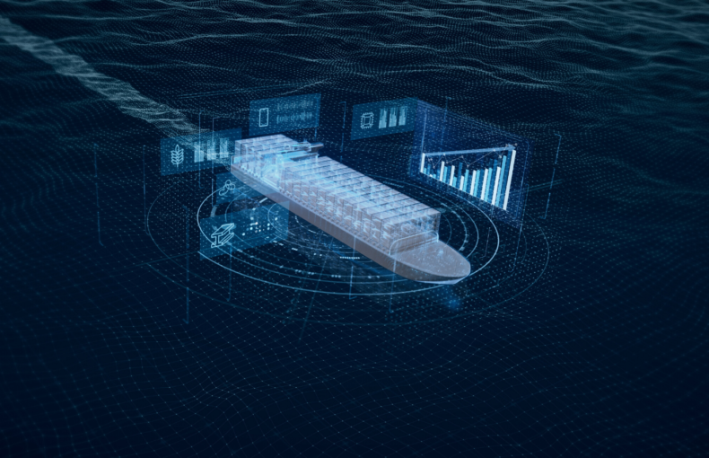
Carriers increase investments in maritime data to reduce costs and stand out in commoditized markets, and compete in a profit-tight economy.
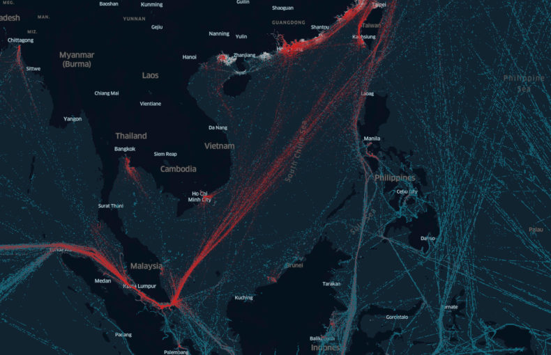
Enhanced Satellite AIS in the Vessels API offers the ability to track the global fleet one ship at a time, cleanly, and efficiently

The continued development of AI-powered e-navigation tools is an inevitable component of the digitalization of the maritime industry and autonomous shipping.
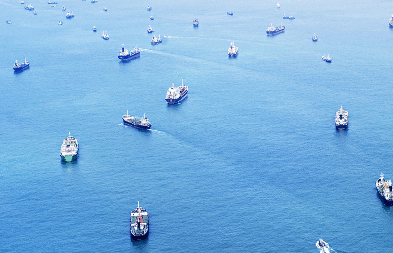
Maritime traffic and HTZs have an impact on profit margins for anyone working in the Maritime industry. A gap in AIS data prevents you from fully tracking the timing of your vessel to port.

Enhanced Satellite AIS provides easy to use, customizable data without any gaps in coverage – even in the busiest shipping lanes.